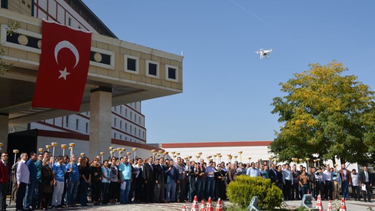
A Smarter Workflow for Land Management in Turkey
Boosting Productivity by the Latest Geospatial Technologies
To maintain cadastral data and to resolve disputes between landowners, modern-day governments need to collect, manage and update their national cadastral data authentically. For a fast-growing country like Turkey, the task is even more challenging because the real world is dynamic and constantly changing.
Due to the rapid urbanisation in recent times, the land authority of the Turkish Government – the General Directorate of Land Registry and Cadastre (GDLRC) – has an increasing workload of updating cadastral data. However, unlike other data, cadastral data needs field teams to complete maintenance and validation. The previous workflow consisted of series of steps and related activities. The field team had to use desktop GIS software to identify the region, import related layers, extract requested spatial data, and then to export to the GNSS RTK receiver before the fieldwork could start. After collecting the data, the team needed to export the survey observations from the instrument and to use a GIS environment to update the cadastral information. Since this process is time consuming, the cadastral data might have changed during the fieldwork – which will turn the survey into meaningless results. Accordingly, to avoid this situation and to enhance the efficiency of field work, the GDLRC has decided to replace the old workflow by a new one. The new workflow includes the use of several advanced geospatial technologies that are featured in latest mobile GIS software and GNSS receivers.
High-precision Positioning
For cadastral field surveying in Turkey precision is most relevant. Some serious legal issues might be caused if the officials check or even edit cadastral data with incorrect positional information. When sending differential GPS data through the internet, a protocol is used that enables users to acquire high-precision positioning data in the field in real time. If the satellite geometry is good and the atmospheric conditions are stable, the precision can even reach 30-40 centimetres. This is nearly five to ten times better than regular GPS positioning. Additionally, the standard deviation of received GNSS RTK signals can be monitored by users to provide further information about the data quality. All these features ensure the field crews are checking the right land parcel, avoiding mistakes.
Integrating Web Resources
In the past, field crews or their colleagues in the office had to collect various kinds of spatial data from other departments or agencies. This was took a lot of time and energy. Therefore, it will enhance efficiency if the required data could be obtained directly in the field through the cloud. In this way building plots and orthophotos can be provided as background information for cadastral data validation. Options for correcting data in the field are available by downloading vertices and set them as waypoints. The navigation function will guide and help the field workers to stakeout these specified points.
Overlaying Maps
Generating overlay maps in different coordinate systems is another challenge when reviewing the updates of cadastral data. The data collected earlier may be available in a different coordinate system from the system in use today. A on-the-fly projection of the SuperPad system in use has successfully solved this problem. This function automatically displays and overlays all map layers together, so there is no need to convert and confirm that they are all in the same coordinate system anymore.
Maximising the Productivity
By putting these advanced geospatial technologies into the fieldwork, the GDLRC substantially improved its workflow of cadastral data management and validation. Instead of editing and transferring data between desktop computers and GNSS RTK receivers back and forth, the new workflow allows users to finish all works directly in the field.
The author
Eugene Tseng is marketing manager at Supergeo Technologies Inc. He joined Supergeo in 2015 and is passionate about promoting SuperGIS products to help people become better decision-makers with spatial insights and geographic awareness.

Value staying current with geomatics?
Stay on the map with our expertly curated newsletters.
We provide educational insights, industry updates, and inspiring stories to help you learn, grow, and reach your full potential in your field. Don't miss out - subscribe today and ensure you're always informed, educated, and inspired.
Choose your newsletter(s)


