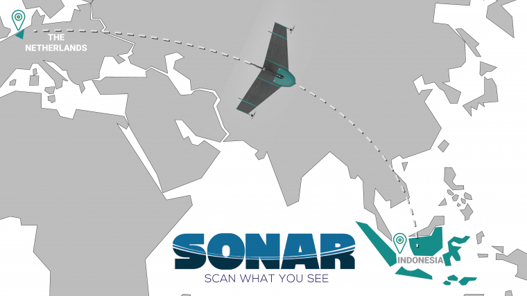
Atmos UAV Sets Foot in Southeast Asian Market
Atmos UAV, a Dutch manufacturer that develops high-end VTOL fixed-wing unmanned aerial vehicles (UAVs or 'drones') for surveying and mapping, has appointed Sonar Nusantara as its official distributor in Indonesia. Sonar, with its headquarters in South Jakarta, offers solutions to a complete range of surveying needs through partnerships with global and well-known manufacturers in the geospatial industry. With this collaboration, Atmos UAV aims to meet the demand in the Southeast Asian region and provide local Marlyn operators with support and first-line maintenance.
"Partnering with best-in -class technology developers like Atmos UAV has enabled us to provide the best option in the UAV product category for Indonesian market, and offer end-to-end solutions suited to every specific client and industry that we serve. Marlyn allows us to tackle even the most challenging jobs in windy environments turning 'no-go' surveying days into routine projects. Our customers expect time savings of up to 50%, as well as high resource and equipment efficiency and safety. Marlyn covers 2km² in 40 minutes with a ground sampling distance of 1.7cm in a single flight. Aerial survey has never been this easy and efficient!" said I Made Nugraha Jaya Wardana, director at Sonar Nusantara.
Fixed-wing or multirotor?
“We are very happy for this partnership!” commented René Worms, sales and marketing director at Atmos UAV. “We have many things in common with Sonar as we both share the same excitement for the geospatial industry with the focus on tailored and reliable solutions. We hear many times the question 'fixed-wing or a multirotor?', and we are here for professionals that want more and say 'Why not both?'.” Worms added. “We look forward to September’s Intergeo, where we are eager to meet promising distributors that will bring us closer to our customers around the globe.”
Marlyn is a fully autonomous hybrid (VTOL & fixed-wing) drone for mapping and surveying. With its patented design, Marlyn can take off vertically from anywhere, and map fast and efficiently producing high-quality outputs for professional users.The drone is built to perform even in harsh and windy conditions, while its easily swappable payloads provide operators with great flexibility.

Value staying current with geomatics?
Stay on the map with our expertly curated newsletters.
We provide educational insights, industry updates, and inspiring stories to help you learn, grow, and reach your full potential in your field. Don't miss out - subscribe today and ensure you're always informed, educated, and inspired.
Choose your newsletter(s)


