Automated Processing of Oblique Imagery
Connectivity Graph to Cope with Tilted Views
Oblique multi-camera systems are rapidly maturing and expanding the market for airborne technology and services. Because datasets of oblique images are large, automated processing is a necessity. Here, the authors present a workflow for the automated orientation of large oblique blocks using a connectivity graph and discuss automated dense matching of oblique images.
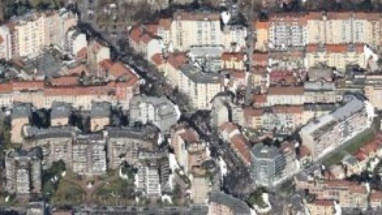
Oblique airborne multi-camera systems are increasingly complementing traditional vertical views. Previously hidden façades and building footprints are unveiled in oblique views, which makes oblique imagery useful for 3D city modelling and cadastral purposes as well as emergency rapid response and scene interpretation. In the past, the spotlight was on visualisation and inspection of oblique images by human operators. However, today’s interest is focused on the metric capabilities.
Tilted Versus Vertical
Tilted views are richer in content compared to vertical views, but they bring more occlusions and degradation in similarity between image features as well as significant scale and illumination differences. Oblique images are also more prone to hot spots and sun glints which arise when looking towards or away from the sun. Additionally, instabilities in the flight trajectory are more harmful. As a result, efficient execution of large-scale projects requires reliable solutions, automated extraction of tie points and dense matching for 3D reconstruction.
Tie points
Interior and exterior parameters of aerial images are commonly known beforehand. Interior parameters are retrieved through lab calibration and exterior parameters are measured directly with on-board sensors (GNSS/IMU). Nevertheless, these parameters are just approximates for metric and automatic applications; therefore, an adjustment in a least squares sense has to be conducted. Direct georeferencing of oblique images without using ground control points is still an issue to be resolved. Experiences gained in processing terrestrial images – which, just like oblique aerial images, are convergent and unordered – provided enough insight to adopt and adjust the terrestrial methodologies for use in processing airborne oblique imagery. The main obstacle is the time-efficient generation of putative correspondences between overlapping images. Pairs, triplets or larger sets of images with maximum similarity are first identified using GNSS/IMU information and a connectivity graph and subsequently matched. A connectivity graph expresses the spatial relationships between the images, speeds up the determination of image correspondences and reduces the number of outliers. The connectivity between images is described in the form of a graph of which the nodes represent images and the edges represent their relationships, i.e. two images are linked with an edge if they are spatially compatible. An image pair has to fulfil three conditions in order to be connected: (1) their footprints coincide by a given percent, (2) cameras’ look directions are similar or one of the cameras is nadir, and (3) the number of extracted homologous points exceeds a threshold.
Continue reading in the online edition of GIM International.

Value staying current with geomatics?
Stay on the map with our expertly curated newsletters.
We provide educational insights, industry updates, and inspiring stories to help you learn, grow, and reach your full potential in your field. Don't miss out - subscribe today and ensure you're always informed, educated, and inspired.
Choose your newsletter(s)


