Autonomous Mapping with Pix4D
Making use of DJI’s new DJI Phantom software development kit, Pix4D has developed the first mapping app: the Pix4Dmapper mobile app allows drones such as DJI Phantom 2 Vision to be turned into an autonomous mapping and measuring tool for creation of 2D maps and 3D models.
The most challenging part of UAV mapping is to take images in a specific way that ensures the best quality and accuracy possible for 2D maps and 3D models. DJI’s SDK allows Pix4D to offer a new feature available as a mobile app that enables users to take total control of a mission, including the camera. This takes away the difficult part of mapping and makes for an easy yet accurate tool for professionals.
Pix4Dmapper is already used by hundreds of DJI Phantom customers for their surveying and measuring projects in sectors such as architecture, construction, agriculture emergency response and cultural heritage. Many additional uses are explored on a daily basis.
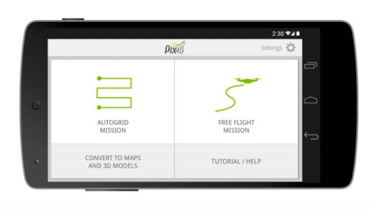
The Pix4Dmapper app for Android (iOS coming soon) allows user to map areas by defining various types of flights. Users can select flight areas and height to create a fully automatic mapping flight, or fly the drone using the remote control: the app automatically calculates in real time when to acquire images to cover the area optimally, as well as enhance image attributes and characteristics. Once the images acquired, the app guides the user on how to convert them automatically into orthomosaics, point clouds, elevation models, or textured 3D models, using Pix4Dmapper on a PC, on the cloud or in the near future also on a tablet and phone.
Using a DJI Phantom 2 Vision and the Pix4Dmapper app, an architect can map a property of 6 acres in a 20 minute flight and – flying at an altitude of 150 feet – create a 3D model with a resolution of up to 1 inch. Or a construction surveyor can fly in 10 minutes over a stockpile of material, process the images and measure its volume, achieving equivalent results as with traditional techniques such as laser scanning, at a fraction of the cost and time.
For more information on Pix4Dmapper see Geo-matching.com.
Watch the video to discover how DJI Phantoms are already used today for a wide array of mapping and modelling projects.

Value staying current with geomatics?
Stay on the map with our expertly curated newsletters.
We provide educational insights, industry updates, and inspiring stories to help you learn, grow, and reach your full potential in your field. Don't miss out - subscribe today and ensure you're always informed, educated, and inspired.
Choose your newsletter(s)


