CHC Navigation Introduces New GNSS RTK Solution
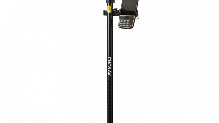
CHC Navigation has announced the immediate availability of its new i50 GNSS receiver, an all-in-one GNSS RTK solution. Bundled with CHC HCE320 Android controller and CHC LandStar 7 field data collection software, the i50 GNSS receiver provides an effective solution for topographic and construction positioning tasks in land surveying, small and medium-size construction projects and precision GIS data collection.
The i50 GNSS is designed to match the demand of cost-conscious yet demanding professionals searching for one all-in-one GNSS RTK survey solution, said Hans Huang, product manager of GNSS Solutions for CHC Navigation. By integrating field proven GNSS positioning and communication technologies in a compact and rugged unit, land surveyors will experience excellent work flexibility in their daily field work with CHC i50, he added.

Value staying current with geomatics?
Stay on the map with our expertly curated newsletters.
We provide educational insights, industry updates, and inspiring stories to help you learn, grow, and reach your full potential in your field. Don't miss out - subscribe today and ensure you're always informed, educated, and inspired.
Choose your newsletter(s)


