Conference: Remote Sensing - the Synergy of High Technologies 2012
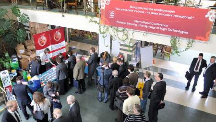
The VI International Conference 'Remote Sensing - the Synergy of High Technologies 2012' is to be held from 25th to 27th April 2012 in the ATLAS PARK-HOTEL near Moscow, Russia. The organiser of the conference is SOVZOND, one of the Russian leaders in the field of geospatial technologies and satellite monitoring. The conference will offer information about new projects and technologies and remote-sensing development prospects.
Traditionally the leading operators and developers of space systems (OJSC Russian Space Systems, TsSKB-PROGRESS SRP SRC, Khrunichev State Space Research and Production Center (GKNPTs), OJSC ‘Research Institute of Precision Instruments', ‘LAVOCHKIN' Association, All-Russia Research Institute of Electromechanics with Plant (VNIIEM), DigitalGlobe, GeoEye, RapidEye, MDA, e-GEOS, PASCO etc.), as well as leading designers of geoinformation applications and software for satellite imagery processing (Esri Inc and Exelis (ITT VIS), Trimble, SpacEyes and etc.) will take an active part in the event. The exhibition to be held during the conference will demonstrate operation of the most recent ground Earth remote sensing data receiving and processing complex and equipment for visual representation and processing of spatial data.
Main topics of the VI International Conference Remote Sensing - the Synergy of High Technologies in 2012 are prospective national and international remote sensing programs; enhancement of remote sensing technologies in the world; new remote sensing systems for monitoring purpose; centres of corporate, regional, government remote sensing monitoring: new opportunities of using spatial information for effective management solutions; automated software & technological systems: new direction in the field of remote sensing data processing and analysis; cloud services for remote sensing data processing; practical aspects of implementing high-tech projects using satellite imagery in a variety of spheres; creation and development of geospatial data infrastructure; use of Earth remote sensing data as a basis for creating and updating of topographical, navigation and thematic maps; ground remote sensing data receiving complex and ground stations; world leaders in the field of ground remote sensing data receiving and processing complex development and installation; iImagery processing (photogrammetric, thematic, mapping, 3D modeling); server-based geoinformation solutions, geoportals and distributed GIS systems and international collaboration, joint geoinformational projects with foreign countries.
Sovzond and its partners will hold seminars and presentations within the framework of the conference. Besides, an exhibition and a contest Best Projects in the sphere of Geoinformation Technologies and Earth Remote Sensing, as well as cultural events and entertainments will be organised as part of the conference.
The early bird registration has a deadline of 31st January 2012. Online registration is available on the conference website.

Value staying current with geomatics?
Stay on the map with our expertly curated newsletters.
We provide educational insights, industry updates, and inspiring stories to help you learn, grow, and reach your full potential in your field. Don't miss out - subscribe today and ensure you're always informed, educated, and inspired.
Choose your newsletter(s)


