Deeper Than Surface Analysis
Exprodat has recently announced the design and release of a new course: Using GIS for Surface Analysis in E&P. The course looks at how raster and vector surface data management and analysis can be used in E&P workflows and what benefits these new terrain models will bring. Increasing the understanding of the terrain of both offshore and onshore scenarios will only increase the accuracy of project decision making.
Attendees will return to their offices with an excellent working knowledge of ArcGIS Spatial Analyst and ArcGIS 3D Analyst desktop extensions.
Exprodat Consulting provides software, consulting services and training courses to exploration and production staff throughout the world’s oil and gas companies.
Training is vital for GIS users to make the most of their investment in the software and Exprodat are not only able to provide the GIS expertise but their staff understand how the technology is best used within the specialist oil and gas environments.
Chris Jepps, Exprodat's Technical Director, said "We developed the Surface Analysis course in response to the excellent feedback our Terrain & Image Analysis (TIA) course received from the market, and both courses are essentially a way for oil and gas ArcGIS users to learn how to use ESRI's Spatial Analyst and 3D Analyst extensions using petroleum industry data, workflows and best practices.
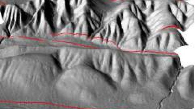
We felt that while the TIA course served explorationists well with its focus on upstream applications, many of the techniques in the course could be more widely applied. So the new Surface Analyst course covers both upstream and downstream applications of the technology, such as using LiDAR data for well pad site mapping, mapping geomorphology for geo-hazard assessment and identifying least cost pathways for onshore activities such as pipeline planning. If you're an oil and gas GIS user who wants to find out about how to use Esri's Spatial Analyst and 3D Analyst extensions, then this is the course for you."

Value staying current with geomatics?
Stay on the map with our expertly curated newsletters.
We provide educational insights, industry updates, and inspiring stories to help you learn, grow, and reach your full potential in your field. Don't miss out - subscribe today and ensure you're always informed, educated, and inspired.
Choose your newsletter(s)


