DroneMetrex Launches Solution for Directly Georeferenced Mapping from a UAV
DroneMetrex, an Australian manufacturer of the TopoDrone photogrammetric mapping UAV systems, has introduced a solution for directly georeferenced mapping from UAVs. According to the company, the difference and main advantage of DroneMetrex's direct georeferencing solution is that it encompasses post-processed kinematic (PPK) principles.
DroneMetrex managing director Tom Tadrowski explained that the company moved in this direction because real-time kinematic (RTK) has radio-link issues and distance issues. It is limited to the telemetry range and other radio frequency interferences (such as terrain, vegetation, buildings, atmospheric conditions). RTK accuracy reduces as distance increases. If loss of radio frequency or telemetry during the flight happens, missing data will compromise the accuracy of the whole flight run.
An important component of the PPK direct georeferencing solution offered by DroneMetrex is a highly accurate GPS receiver on board of the TopoDrone which independently logs the GPS coordinates of the drone for each and every photo position.
The accuracy of the photo position is also directly related to the synchronisation of the camera shutter with the GPS logging. Having that in mind, DroneMetrex specialists modified the internals of the camera and synchronised L1/L2/Glonass/BDS antenna to the nano-second of the camera shutter to achieve highest mapping accuracy.
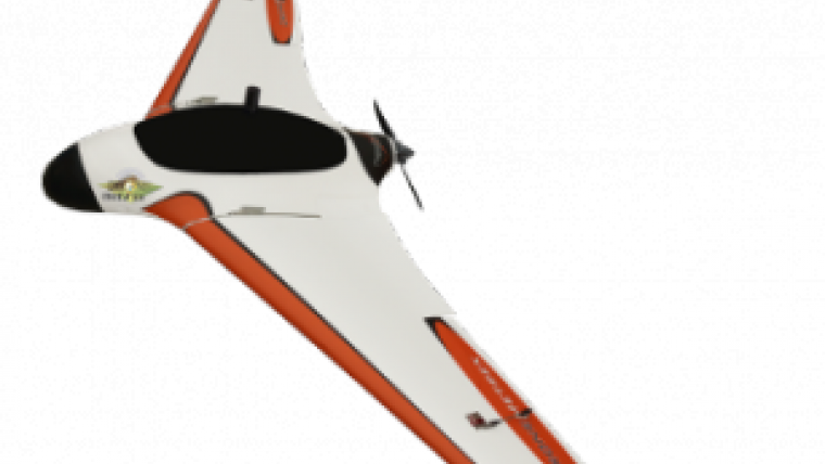
GPS antenna
Another aspect that received much attention of DroneMetrex experts is the position of the on-board GPS antenna in relation to the camera. Unless the antenna is exactly above the camera, and unless the camera is nearly nadir and with little or no “crab” then there is always a danger of having geometric errors that will inevitably occur during the flight. The TopoDrone-100 has the GPS antenna mounted directly and accurately above the centre of axis to the Dynamic Stabilised Active Mount and the camera. It ensures minimum “lever-arm” correction for highest accuracy photogrammetry. Differential GPS post-processing is then used to obtain the accurate camera positions.
DroneMetrex stated that, as a result of this approach, clients can successfully map significantly larger areas with challenging types of terrain (dense forests, coastal zones, mining sites) without any ground control points.
For more information on the TopoDrone-100 see here.

Value staying current with geomatics?
Stay on the map with our expertly curated newsletters.
We provide educational insights, industry updates, and inspiring stories to help you learn, grow, and reach your full potential in your field. Don't miss out - subscribe today and ensure you're always informed, educated, and inspired.
Choose your newsletter(s)


