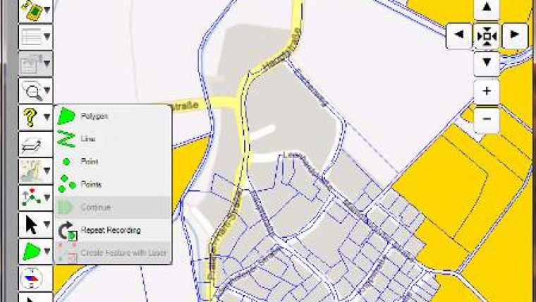
eGIS PC Mapping Solution
Topcon Europe Positioning, The Netherlands, has introduced a version of eGIS handheld mapping software solution designed for tablet Windows-based personal computers: eGIS PC. This edition allows users to create, edit and display map geometry and attributes, view data which has been overlaid on one of the many web mapping systems available and is fully compatible with the industry standard ESRI ArcPad SHP file format.
Designed for GIS data collection specifically for use with GNSS-powered PC devices, or devices with external GNSS modules such as the HiPer SR or GR-5, eGIS PC allows ease of use for all mapping activities from autonomous level measurements all the way up to up to RTK centimetre level accuracy.
It also allows live on-board volume calculations. By measuring the boundaries of an area at the top and bottom and assign them to the volume calculation function results will be available within seconds.
eGIS PC also fully supports third-party devices such as the TruPulse TP360B range finder and incorporates both integrated and connected digital camera imagery, including EXIF header information can be easily linked them to map features.

Value staying current with geomatics?
Stay on the map with our expertly curated newsletters.
We provide educational insights, industry updates, and inspiring stories to help you learn, grow, and reach your full potential in your field. Don't miss out - subscribe today and ensure you're always informed, educated, and inspired.
Choose your newsletter(s)


