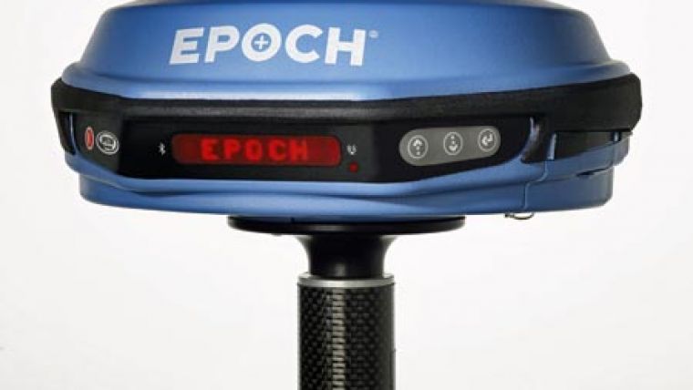
EPOCH 35 RTK GNSS System
Spectra Precision has introduced the EPOCH 35 GNSS system, using Global Positioning System (GPS) and GLONASS technology for cadastral, topographic, control, stakeout and other precision survey applications.
The EPOCH 35 is a complete GNSS system that includes a base, rover, field software, data collector, and radio. The EPOCH 35 GNSS rover features integrated Bluetooth capability, an internal radio modem and battery. In North America, the system operates with the popular TDS Survey Pro field software. Outside the U.S., the system runs Spectra Precision Field Surveyor. These premiere field software solutions operate on the Spectra Precision Recon or Nomad data collectors.
For RTK surveying, the base system may include a choice of radio modems that provide either a long- or short-range data link from the base to the rover. In addition, Network RTK is also supported by simply connecting to an external data capable cellular modem. Back at the office, surveyors can use the Spectra Precision Office Software for post-processing and quality control.
The EPOCH 35 GNSS system provides high-quality results in several survey modes including RTK and Static. The system operates without line-of-sight between points, and can be used in any weather. Built especially for tough surveying conditions, the compact and lightweight EPOCH 35 GNSS system can handle drops, extreme temperatures, dirt, and water.

Value staying current with geomatics?
Stay on the map with our expertly curated newsletters.
We provide educational insights, industry updates, and inspiring stories to help you learn, grow, and reach your full potential in your field. Don't miss out - subscribe today and ensure you're always informed, educated, and inspired.
Choose your newsletter(s)


