European Space Imaging Wins EUR20.5 Million EU Agricultural Framework Contract
European Space Imaging has been awarded a fourth multi-year agricultural framework contract to deliver an estimated 1.2 million square kilometres of very high resolution (VHR) satellite imagery and associated services in support of the European Commission’s (EC) Common Agricultural Policy (CAP).
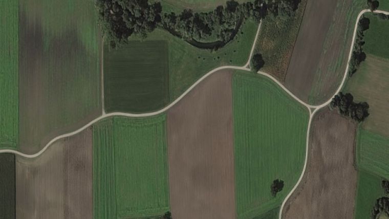
This exclusive framework contract between the European Commission’s Joint Research Centre (JRC) and European Space Imaging relies on the delivery of VHR satellite imagery to the European Union Member States with a minimum 95% success rate according to defined image profiles and associated planning activity, in support of on-the-spot checks (OTSCs) and the CAP's Land Parcel Identification System Quality Assurance (LPIS QA).
“We have been participating in this framework since 2004 and have proven to be a reliable data supplier delivering a close to or equal to 100% success rate year on year,” said Adrian Zevenbergen, managing director at European Space Imaging. “We are proud to once again be awarded this exclusive contract to assist the EU Member States in assisting the CAP programme to achieve sustainable agriculture for the success of Europe.”
Coordinating collections across a constellation of satellite sensors
The contract has an estimated total value of EUR20.5 million over a period of up to four years and will be carried out by European Space Imaging in collaboration with its technology partner GAF AG and in close cooperation with the satellite operators Maxar Technologies, Satellogic and SI Imaging Services (SIIS).
“Through our innovative partnerships, we coordinate collections across a constellation of satellite sensors using a combination of direct and indirect tasking” said Dr Melanie Rankl, project manager at European Space Imaging. “With an increasing number of missions available in the near future, we are in a unique position to offer transparent and efficient management of future multi-mission campaigns for the EU.”
The introduction of satellite remote sensing and GIS into the CAP checks results from a long and close collaboration between the Directorate-General for Agriculture (DG Agri) and JRC that started 20 years ago. Since this time, DG Agri has promoted the use of VHR data within the ‘Control with Remote Sensing’ (CwRS) as an appropriate control system suitable for checking whether or not financial aid is granted correctly.

Value staying current with geomatics?
Stay on the map with our expertly curated newsletters.
We provide educational insights, industry updates, and inspiring stories to help you learn, grow, and reach your full potential in your field. Don't miss out - subscribe today and ensure you're always informed, educated, and inspired.
Choose your newsletter(s)


