FalconScan Launches Aerial Mapping System
FalconScan, based in Maryland, USA, has recently announced the release of its aerial mapping system. Features include flight planning, guidance and data capture software, a spectrally calibrated digital high-spatial-resolution camera system and cloud-based software to geospatially locate, orthorectify and create large-end product mosaics that can be rendered in two or three dimensions
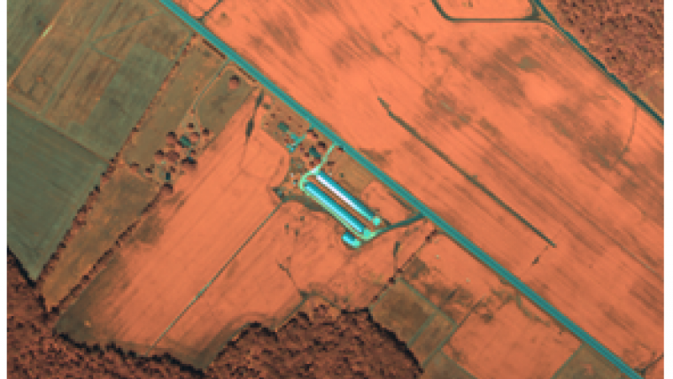
The FalconScan camera system has been under development for several years and has currently completed over 100 aerial imagery missions. Applications include, amongst others, agriculture and forestry, threat detection, transportation corridor surveillance and disaster preparedness and response.
FalconScan offers customers a turnkey operation that delivers high-spatial-resolution images which benefit from the unique spectral characteristics of the system. It offers off-the-shelf components and software that supplies a complete and affordable aerial data acquisition solution right out of the box. Its size, weight and automated data collection system allow operation from either manned or unmanned platforms and delivers finished product into clients' hands as quickly as the images can be processed in the cloud and downloaded to multiple locations.
Small footprint
Due to the small footprint, FalconScan can be transported by hand to any location and operated from almost any aircraft. The self-contained camera, navigation and tablet control system installs in minutes and operates from aircraft power. Flight lines are automatically generated from the areas of interest and the camera collects the images without assistance so it is a strong candidate as a UAV payload.
Benefits include the ability to use FalconScan with other remote sensing instruments on the same aircraft and fuse the resulting data sets to create powerful mapped images. The information contained in the pictures can be represented as 2 or 3D on the computer screen and imported into any GIS system. Commercial uses include high definition base mapping for agriculture, forestry, water quality, oil and gas corridor monitoring, and the rapid generation of urban landscapes.

Value staying current with geomatics?
Stay on the map with our expertly curated newsletters.
We provide educational insights, industry updates, and inspiring stories to help you learn, grow, and reach your full potential in your field. Don't miss out - subscribe today and ensure you're always informed, educated, and inspired.
Choose your newsletter(s)


