Five Decades of Mapping the Moon
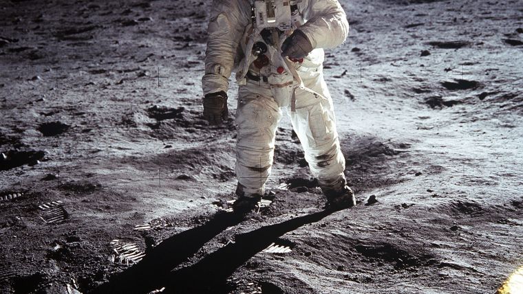
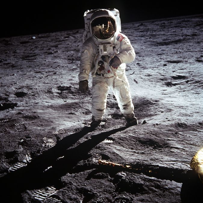
This year, NASA is celebrating the 50th anniversary of the first crewed mission – Apollo 11 – landing on the moon. Besides that, this September it will be 60 years since the first unmanned mission – Luna 2 – reached the surface of the moon. Both of these milestones reflect the great contributions of the USA and the Soviet Union/Russia to space exploration, but they would not have been possible without spatial data. National Geographic has always been at the forefront of lunar mapping. At the time of the Apollo missions, crews relied on its hand-painted maps based on photos from 1966 and 1967 Lunar Orbiter missions. National Geographic has now released a new version of its moon map, consisting of a mosaic of 15,000 images and detailed height measurements from NASA’s Lunar Reconnaissance Orbiter.
Lidar technology
Much has changed since those first maps in the 1960s. Technologies such as GNSS and Lidar have emerged. Airborne laser mapping – a fully automatic method of directly measuring the height or elevation of the terrain from an aircraft or a satellite – is now utilized to make digital elevation maps (DEMs) of the moon. The Lunar Orbiter Laser Altimeter (LOLA) provides a precise global lunar topographic model and geodetic grid that serves as the foundation for essential lunar understanding. This aids future missions with topographical data for safe landings and enhanced exploration-driven mobility on the moon. LOLA also contributes to decision-making about where to explore by revealing insights into the evolution of the surface.
The Japanese SELENE spacecraft, used in the Kaguya mission which was launched in 2007, also carried onboard a laser altimeter. Kaguya was Japan’s second mission to explore the moon from orbit. The Lidar data derived from this mission enabled the first polar topographic maps with complete coverage to be produced, and it improved estimates of the lunar figure from a spherical harmonic model complete to degree and order 359 on a quarter-degree grid.
GNSS for moon missions
One might argue that the moon is not far beyond the reach of Earth satellite signals, and some interesting developments are indeed just around the corner. NASA simulations prove that GNSS signals could be used for reliable navigation in lunar orbit, far outside the Space Service Volume, over 200,000 miles from Earth. The space agency is even planning to use GNSS signals in the navigation architecture for the Gateway, an outpost in orbit around the moon that will enable sustained lunar-surface exploration.
Innovative cartography
Earlier this year, Ordnance Survey, Britain’s national mapping agency, employed its distinctive cartographic style to celebrate the 50th anniversary of the moon landing. Paul Naylor, cartographer and data visualization specialist, used NASA open data to create a stunning map of the lunar landing site. Commenting on his moon map, Naylor said: “The 1969 moon landing is one of humanity’s greatest scientific and engineering achievements, and the challenge of applying our innovative cartography and mapping tradecraft in honouring this achievement was too great to resist. I hope people can appreciate this as not just a map, but also as something beautiful to look at.”
Further Reading
- NASA
- National Geographic
- Icarus, Volume 273, 15 July 2016, pp. 346-355

Value staying current with geomatics?
Stay on the map with our expertly curated newsletters.
We provide educational insights, industry updates, and inspiring stories to help you learn, grow, and reach your full potential in your field. Don't miss out - subscribe today and ensure you're always informed, educated, and inspired.
Choose your newsletter(s)


