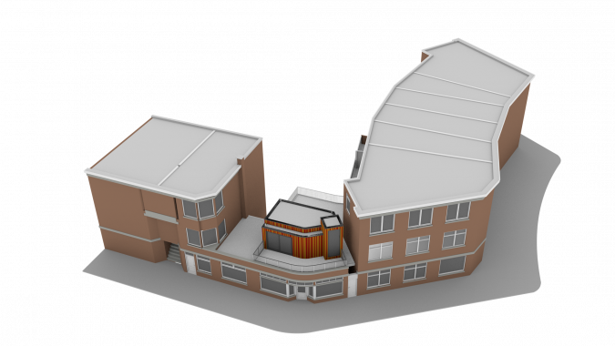
Geo Plus BIM Does Not Make GeoBIM
This article was originally published in Geomatics World.
The added value of integrating geomatics (Geo) with building information modelling (BIM) to solve contemporary multidisciplinary challenges of our urban environment is widely recognized, writes Jantien Stoter. Much research and many projects have shown how geodata has been successfully used in design and construction activities, and how BIM data serves as a source for geodata. It seems straightforward, but there are various challenges still to be overcome, as outlined here.
An architect (BIM) can take environmental information (Geo) into account while designing a building, and a municipality can then automatically check the design (BIM) against its environmental impact (Geo), such as whether it is below the maximum building height, the level of noise exposure for residents, and how much solar irradiation the building will receive. Building permission procedures will thus become both faster and more reliable. Furthermore, 3D city models will be more detailed and up to date; the design of a permitted construction or building is a source for the 3D city model, with added information such as building materials and energy-related attributes that can be used for the construction’s life-cycle management.
It seems straightforward. Much research and many projects have shown how geodata has been successfully used in design and construction activities, how BIM data serves as a source for geodata, and how BIM semantics (as defined for example in the IFC standard) map to geo semantics (as defined in, for example, CityGML). But in practice IFC models are not structured according to these mappings. In addition, the fundamental differences between BIM and Geo geometry models have hardly been investigated until now. With over a thousand IFC classes available, there are many different ways to model a specific situation, which makes it impossible to develop a uniform translation that works for any IFC model. How can we translate the thousands of constructional elements (modelled as volumes) that together define a house in a BIM model into a single, closed building object, defined with surfaces as required for geospatial analysis?
The Open Geospatial Consortium (OGC) confirmed these challenges in a project on the use of IFC and CityGML in Urban Planning[1]. OGC identified inconsistencies in coding IFC elements that complicate the transformation to CityGML and concluded that, in order to adopt IFC in urban planning, a clear set of specifications needs to be set for the preparation of IFC files.
Another problem is that IFC models from practice contain errors, making it hard to use them in spatial analysis. In a project in The Netherlands with stakeholders from both domains[2], invalid objects were found to be widespread in the IFC models that are obtained from architectural and design software. Interestingly, some errors were disallowed by the IFC standard, but not enforced by most current implementations. Users of the software have little notion of this problem, but these errors make it hard to reuse the data in other software.
Mainstream software vendors have partly solved the interoperability problem between their proprietary formats, but this is not sufficient for a fundamental Geo and BIM integration. In addition, with IFC mainly covering buildings until now, little is known about the Geo and BIM integration for infrastructure (currently being standardised in IFC). For example, how can 3D profiles of roads, generated in BIM by extruding a profile along a 2D road axis, be understood outside the software in which they are generated?

Models of buildings are produced in both domains for different purposes, such as for design and construction in BIM and for geospatial analysis in GIS. The question of how the data can be better reused is difficult to answer as long as there is insufficient knowledge of where Geo and BIM data should or could meet in practice, and how fundamental solutions can be developed accordingly.
Many experts are knowledgeable in only one of the two domains, and professionals who understand the data needs, the work processes, the techniques, the software and the standards in both domains are rare. To bridge this fundamental knowledge gap, a EuroSDR collaboration between 11 national mapping and cadastral agencies will analyse two use cases in detail by intensively involving the stakeholders: a) the workflow from global design to a building permit, and b) the workflow of the object life cycle in asset management. Which process steps and information flows do these use cases have or wish to have, and what are the needs at every step to use Geo data in a BIM environment and vice versa? To what extent does BIM software support Geo data and vice versa, and what further developments are required? What agreements are needed on geometric definitions to make the level of development of the models interoperable, and levels of detail useful to both? How can the reuse of Geo data and BIM data in these use cases be improved beyond the exchange of data between a few professionals or between the main software vendors?
The result will be a ‘best practice for Geo data in a BIM environment’ and a ‘best practice for BIM data in Geo information’, a contribution from an international perspective to fulfil the promises of Geo and BIM integration.

Value staying current with geomatics?
Stay on the map with our expertly curated newsletters.
We provide educational insights, industry updates, and inspiring stories to help you learn, grow, and reach your full potential in your field. Don't miss out - subscribe today and ensure you're always informed, educated, and inspired.
Choose your newsletter(s)


