GIS Observation System Supplies Water for Lives
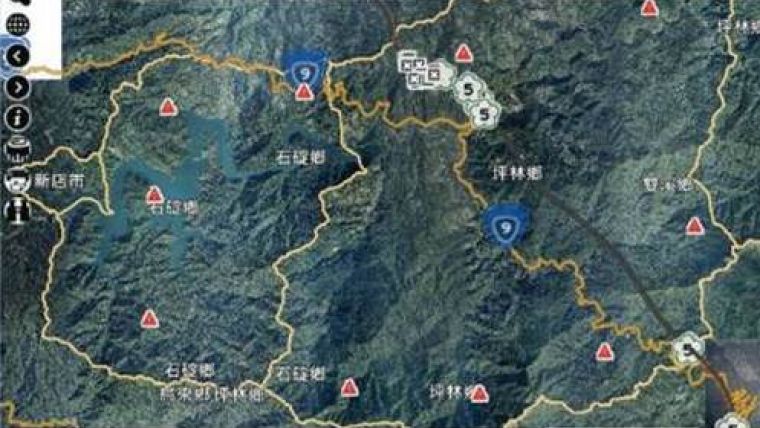
As the main water supply and electricity generator in great Taipei, the Feitsui Reservoir is a vital resource in Taiwan. Feitsui Reservoir Administration therefore needs to ensure that water quality, water supply and the land use of catchment area are under control. To manage this 303-square-metre reservoir in a timely manner, the authority decided to establish a GIS application, enabling the officers to observe and manage the whole area on the map.
By using SuperGIS Server as the core software, the Land Use Investigation System of Feitsui Reservoir Catchment Area is able to integrate various resources in a single GIS platform. Managers can easily gather related information, like water level and quality, precipitation, satellite images, CCTV, photos with coordinates info, potential landslide areas and location of signs, to make proper decisions in time.
Land Use and Transformation of Catchment Area Management and Query System was also built based on SuperGIS Server to provide administrators a platform in querying and updating latest land use status. With UAV and GPS technologies, administrators can greatly save time on surveying, and manage all the needed data with GIS online.
The systems are not only used as daily water supply information source, but also to provide the authority a tool to monitor and prevent illegal development in catchment areas. Also, with the SuperGIS-powered systems, the authority is able to integrate and exchange its internal data smoothly in supplying better water resources for more lives.

Value staying current with geomatics?
Stay on the map with our expertly curated newsletters.
We provide educational insights, industry updates, and inspiring stories to help you learn, grow, and reach your full potential in your field. Don't miss out - subscribe today and ensure you're always informed, educated, and inspired.
Choose your newsletter(s)


