Holographic Printing for ArcGIS
Zebra Imaging, USA, is launching a software add- in that will allow Esri users to print their 3D data in a holographic display for true 3D presentations and analysis. Zebra Imaging has created over 10,000 3D maps of areas of interest for the US Department of Defense and is now bringing this 3D capability to Esri ArcGIS Desktop 10 users.
ZScape holographic prints can be created from data with the 3D Analyst extension, which is used in industries such as exploration geology, hydrology, archeology, forestry, healthcare, mining, real estate, park services, city governments, public safety and security, and many others. 2D and 3D data can be combined to create high resolution 3D holographic GIS prints with annotations, full colour models, aerial photographs, and terrain data. The ZScape Exporter add-in will allow ArcGIS customers to seamlessly prepare, view, and submit their data for 3D printing via a web-based service.
"Holographic prints are a new medium for making complex 3D information more accessible and easier to understand," said Nathan Shephard, 3D Analyst Product Engineering Lead at Esri. "We'd like to welcome Zebra Imaging as a new Esri partner, and are excited about the opportunities that come with this new way of sharing 3D GIS."
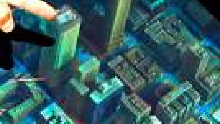
GIS professionals are increasingly turning to 3D to better visualise complex spatial problems. ZScape holographic prints allow any GIS user to present their information in true 3D that is viewable from 360 degrees, without requiring special eyewear. Zebra's holographic prints present virtual representations of real world conditions, and can display detailed topography, cityscapes, and other 3D information for presentations and decision making. ZScape prints allow users to communicate 3D information quickly and effectively in any setting.
In the week of 11th to 15th July 2011, the company is showcasing numerous holographic images the Esri International User Conference in booth #2612 at The San Diego Convention Center.

Value staying current with geomatics?
Stay on the map with our expertly curated newsletters.
We provide educational insights, industry updates, and inspiring stories to help you learn, grow, and reach your full potential in your field. Don't miss out - subscribe today and ensure you're always informed, educated, and inspired.
Choose your newsletter(s)


