Klau Geomatics Releases Mapping Payload for DJI M3000
Klau Geomatics has released a new mapping payload for DJI M3000 that weighs just under 1 kilogram.
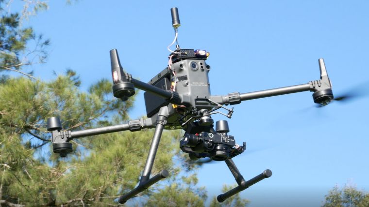
A KlauPPK module mounted via the Klau Geomatics Sony gimbal connects straight into the DJI bayonet mount, together with an RX12r camera. The payload (gimbal and camera) weighs a little less than 1 kilogram. The payload is independent of the drone; there is no data connection to the drone. Photos are therefore only on the camera, which is stabilized and tilted via remote control. Klau Geomatics says that flying with this payload eliminates the need for ground control points (GCPs), but the company recommends users to check every now and then. The DJI M300 multirotor drone flies around 45 minutes, even with this payload. This makes it possible to fly for longer, cover more ground with fewer photos and achieve better accuracy and quality than previously achievable.

Value staying current with geomatics?
Stay on the map with our expertly curated newsletters.
We provide educational insights, industry updates, and inspiring stories to help you learn, grow, and reach your full potential in your field. Don't miss out - subscribe today and ensure you're always informed, educated, and inspired.
Choose your newsletter(s)


