Leica Announces True Tilt-compensating GNSS
Leica Geosystems has announced the Leica GS18 T, which it describes as the world’s fastest GNSS RTK rover and the first calibration-free tilt-compensating GNSS solution immune to magnetic disturbances. In a further expansion of the Leica ‘Captivate Experience’, the company is also introducing the latest versions of Leica Captivate field software and Leica Infinity office software.
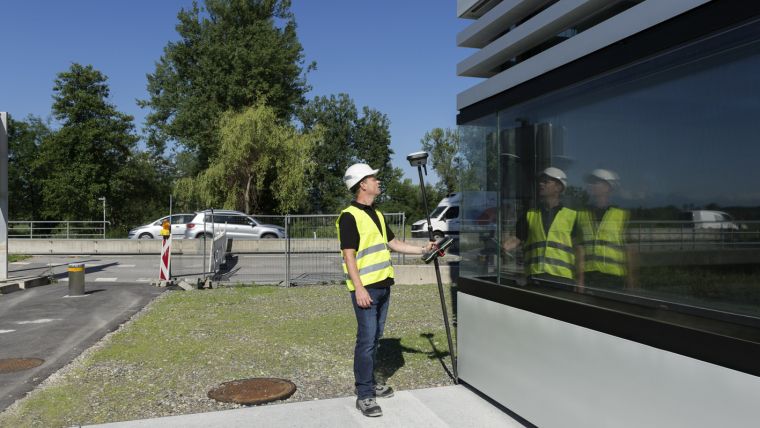
The GS18 T enables GNSS measurements to be taken from any position on site. This saves users up to 20 percent of time in the field over conventional surveying practices as the pole no longer needs to be held vertical to level the bubble. As the only GNSS RTK rover to use precisely enough inertial measuring units (IMUs) and no compass, it enables users to measure with a tilted pole close to buildings, underneath cars and close to metallic objects.
With integrated quality assurance, the GS18 T records exactly how the pole was levelled during the measurement. The GS18 T then stores the values, ensuring measurement traceability and complete quality reporting. The new easy-to-use GNSS RTK rover ensures users and managers increased productivity and less time on site.
Speed is the name of the game, according to Manny Sangha, owner of Sangha Geomatics & Land Survey Inc. in Vanderhoof, Canada, who – with the GS16 – has been able to reduce time spent on every project. The GS18 is expected to make this even faster and deliver improved efficiency. No longer having to level the pole nor calibrate the system will add real value for users and could be regarded as a game-changer in the industry.
Bernhard Richter, GNSS business director at Leica Geosystems, describes the GS18 T as representing the company’s commitment to innovation and providing the best user experience possible. Without the need to level any longer, users can find new opportunities in their businesses with the time and effort saved.
Updates to field and office software to support new tilt functionality
Fully supporting the GS18 T, Leica Captivate v3.0 field software and Leica Infinity v2.4 office software now offer users a more immersive means of control on site and at the desk. Captivate now allows configuration of the GS18 T for all measuring and staking applications and the visualisation of tilt-compensated measurements. Measured data can be directly imported into Infinity or exported into a variety of formats suitable for CAD packages. Within Infinity, users can visualise the measured data, including the creation of reports providing full traceability and quality assurance for themselves and their clients.
Leica is consistently evolving the ‘Captivate Experience’ based upon customers’ needs, according to Richter, and the updates to the Captivate and Infinity software show the company’s dedication to not only improving its offering but also its commitment to providing an excellent user experience.
For more information about the GS18 T GNSS RTK rover, please visit leica-geosystems.com/gs18t.

Value staying current with geomatics?
Stay on the map with our expertly curated newsletters.
We provide educational insights, industry updates, and inspiring stories to help you learn, grow, and reach your full potential in your field. Don't miss out - subscribe today and ensure you're always informed, educated, and inspired.
Choose your newsletter(s)


