LP360 and LP360 Classify v1.5
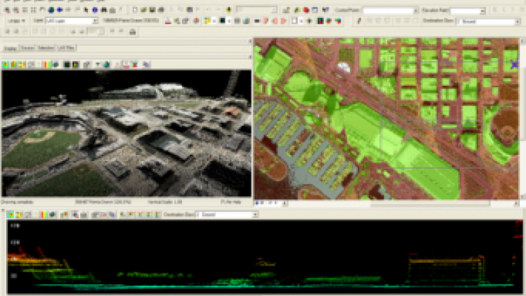
QCoherent Software (CO, USA) has released LP360 v1.5 and LP360 Classify v1.5, a Lidar tool for integrating Lidar point clouds into ArcGIS. LP360 v1.5 provides ESRI users with new abilities to functionally leverage enormous LIDAR point cloud datasets into geospatial analysis.
New features in LP360 v1.5 include:
- Contour exporting with annotation options for shapefile, .dgn or .dxf formats
- Shapefile point exporting utilities
- Breakline integration options
- Floating/concurrent licensing
New LP360 Classify v1.5 features:
- Classification of LIDAR point clouds using GIS layers, operations, and selection sets
- Elevation conflation tools for adding LIDAR elevations and statistics to features
- Ability to develop 3D geometries and breaklines utilizing the LIDAR point cloud.
LP360 v1.5 continues QCoherent Software's mission of developing flexible Lidar software that enables users of Lidar data to easily and efficiently access gigantic Lidar point clouds in day-to-day geospatial operations. With LP360 v1.5 users can now export contours directly from Lidar LAS files, integrate and create 3D breaklines from 2D features, classify Lidar point clouds using familiar geospatial operations, and conflate elevation statistics to features.

Value staying current with geomatics?
Stay on the map with our expertly curated newsletters.
We provide educational insights, industry updates, and inspiring stories to help you learn, grow, and reach your full potential in your field. Don't miss out - subscribe today and ensure you're always informed, educated, and inspired.
Choose your newsletter(s)


