Mobile Geological Mapping Software
GAF has released a free trial version of GeoRover, a mobile geological mapping software, developed on the basis of experience gained from real geological mapping field work. The software integrates GPS navigation, GIS functionality and spatial raster data management in one tool. This allows field mapping experts to work smarter and faster - thus enhancing productivity and improving efficiency significantly.
In early 2003, GAF AG defined a new method for geological field work with the launch of the first version of its GeoRover software, which was based on a modern digital geological mapping approach. Using the experience gathered in different geological mapping projects, the company aimed to create a system catering for the needs of the mapping geologist working in the field. This new approach to mapping placed a strong emphasis on communication between GIS experts and geologists right from the beginning of a project. In particular the easy transfer of data acquired in the field to the GIS environment required for the final map production was and is a prime aim of the concept.
A tool that is easy-to-use, accurate and compatible with other software packages is suited for geologists without in-depth GIS skills. GeoRover has formed the backbone of a range of mapping projects carried out by GAF AG since 2003. At the moment the system is successfully in use in ongoing geological mapping projects in Uganda, Morocco and Sudan.
The system utilises a relational database on a laptop computer combined with a mobile PDA device (Personal Digital Assistant with GPS capability). In the field, the PDA assists geologists by displaying all manner of already existing maps and data in order to provide optimum orientation on the ground. The spatial and attribute data are incorporated into a central database and thus easily shared with and visualised by other geologists. The mapping geologist is equipped with a digital field book which is constantly being updated and the interpretation of the data can quickly be refined and perfected by visualisation. The main features of the software GeoRover:
•Observation data is standardised and thus comparable using a customised relational database
•All observation points are directly attributed, stored and visualised in the field
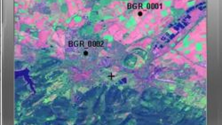
•Direct access in the field to a range of datasets is possible by using a GPS-connected viewer
•The easy-to-use functionality of the system lets the mapping geologist create the digital mapping base by generating shapefiles in the GeoRover
•The cartographer receives interpreted digital data from the field that can be directly integrated into the GIS environment

Value staying current with geomatics?
Stay on the map with our expertly curated newsletters.
We provide educational insights, industry updates, and inspiring stories to help you learn, grow, and reach your full potential in your field. Don't miss out - subscribe today and ensure you're always informed, educated, and inspired.
Choose your newsletter(s)


