Mobile GIS Assists Public Works Planning in Liberia
Supergeo Technologies, the GIS software and solution provider, has announced that SuperPad assists the Ministry of Public Works in Monrovia, Liberia, in geospatial data collection and updating to improve rural living conditions in the region. The Liberian authority mainly focuses on construction works in rural regions, where internet access is limited.
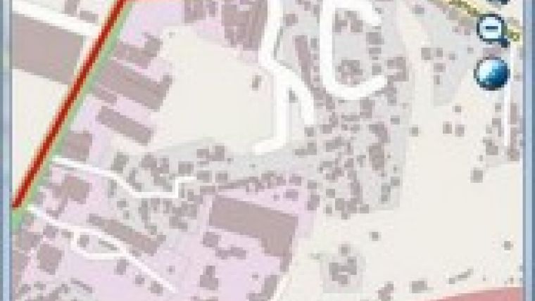
SuperPad 3.1a is a professional mobile GIS and data collection application, specially designed for Windows Mobile devices. It can help field surveyors to easily capture, display, edit, and manage field data. With SuperPad 3.1a, damaged and old data can be accurately updated for officers to make proper policy in time.
Using SuperPad 3.1a, on-site workers may easily collect GIS data, including attributes and features, with GNSS even in offline mode. Also, photos can be taken with coordinate information to report real situation, so that officers can control the ongoing cases accurately.
In addition, to against severe field condition, SuperPad also supports other survey equipment like laser range finder to capture geospatial data, improving the accuracy of the surveyed points. For advanced users, Supergeo provides programmers with samples to develop intuitive extensions and customised user interface. With the complete functions, field survey can be done with ease and minimum budget.
A trial of SuperPad 3.1a is available here.
For an online demo of SuperPad 3.1a go here.

Value staying current with geomatics?
Stay on the map with our expertly curated newsletters.
We provide educational insights, industry updates, and inspiring stories to help you learn, grow, and reach your full potential in your field. Don't miss out - subscribe today and ensure you're always informed, educated, and inspired.
Choose your newsletter(s)


