Mobile Lidar Technology Expanding Rapidly
Imagine driving down a road a few times and obtaining more data about the surrounding landscape in an hour than a crew of surveyors could obtain in months. Such is the potential of mobile Lidar, a powerful technology that is only a few years old and promises to change the way we see, study and record the world around us. It will be applied in transportation, hydrology, forestry, virtual tourism and construction – yet almost no one knows anything about it.
That may change with a new report on the uses and current technology of mobile Lidar, which has just been completed and presented to the Transportation Research Board of the National Academy of Sciences. It will help more managers and experts understand, use and take advantage of this science.
The full exploitation of this remarkable technology, however, faces constraints. Too few experts are trained to use it, too few educational programs exist to teach it, mountains of data are produced that can swamp the computer capabilities of even large agencies, and lack of a consistent data management protocol clogs the sharing of information between systems.
A lot of people and professionals still don’t even know what mobile Lidar is or what it can do, said Michael Olsen, an assistant professor of civil engineering at Oregon State University, and lead author of the new report. And the technology is changing so fast it’s hard for anyone, even the experts, to keep up.
When more people use mobile Lidar and some of the obstacles are worked through, it will reduce costs, improve efficiency, change many professions and even help save lives, Olsen continued.
Lidar has been used for 20 years, primarily in aerial mapping. Pulses of light up to one million times a second bounce back from whatever they hit, forming a highly detailed and precise map of the landscape. But mobile Lidar used on the ground, with even more powerful computer systems, is still in its infancy and has only been commercially available for five years.
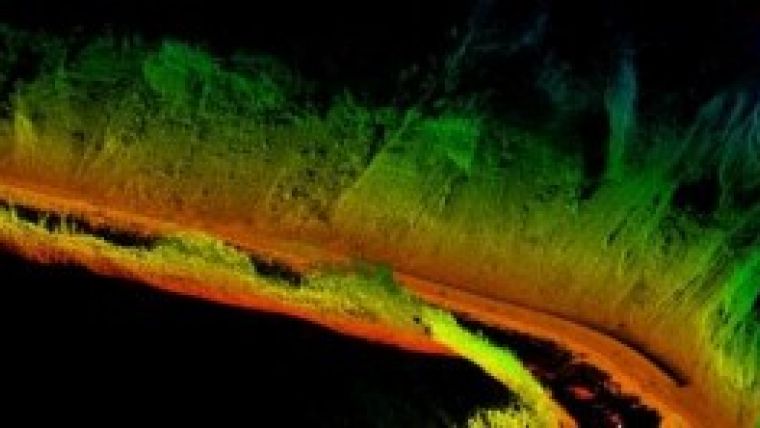
Mobile Lidar, compared to its aerial counterpart, can provide 10 to 100 times more data points that hugely improve the resolution of an image. Moving even at highway speeds, a technician can obtain a remarkable, three-dimensional view of the nearby terrain.
Such technology could be used repeatedly in one area and give engineers a virtual picture of an unstable, slow-moving hillside. It could provide a detailed image of a forest, or an urban setting, or a near-perfect recording of surrounding geology. An image of a tangle of utility lines in a ditch, made just before they were backfilled and covered, would give construction workers 30 years later a 3D map to guide them as they repaired a leaking pipe.
Mobile Lidar may someday be a key to driverless automobiles, or used to create amazing visual images that will enhance “virtual tourism” and let anyone, anywhere, actually see what an area looks like as if they were standing there. The applications in surveying and for transportation engineering are compelling, and may change entire professions.
Just recently, mobile Lidar was used to help the space shuttle Endeavour manoeuvre through city streets to reach its final home in Los Angeles.
Some of the newest applications, Olsen said, will have to wait until there are enough experts to exploit them. OSU operates one of the few programmes in the nation to train students in both civil engineering and this evolving field of “geomatics,” and more jobs are available than there are people to fill them. Due to a partnership with Leica Geosystems and David Evans and Associates, OSU has sufficient hardware and software to maintain a variety of geomatics courses. But more educational programmes are needed, Olsen said, and fully-trained and licensed professionals can make USD100,000 or more annually.
Other nations, he said, including Canada, have made a much more aggressive commitment to using mobile Lidar and training students in geomatics. It is critical for the U.S. to follow suit, Olsen said.
Collaborators on the new report included researchers from the University of Houston, Lidarnews.com, David Evans and Associates, Persi Consulting, and Innovative Data, Inc.

Value staying current with geomatics?
Stay on the map with our expertly curated newsletters.
We provide educational insights, industry updates, and inspiring stories to help you learn, grow, and reach your full potential in your field. Don't miss out - subscribe today and ensure you're always informed, educated, and inspired.
Choose your newsletter(s)


