3D Modelling Application for BIM Projects
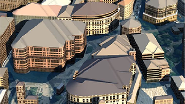
OS Model Builder is a recently launched visualisation tool that can support projects, including Level 2 BIM activities, and was developed to save the construction industry and its clients’ time and money when planning future projects. OS Model Builder is the result of an exciting new collaboration between Cadline and Ordnance Survey (OS) to provide Autodesk Infraworks 360 customers with a single source of Great Britain’s most accurate and up-to-date collection of geographic data, all presented in a pre-configured CAD-ready file that can be used to create 2 and 3D building or infrastructure models in minutes rather than days or weeks. The application is available over the web, runs on any device and can be trialled for free.
OS Model Builder can help to:
- Evaluate the risks and costs of projects from your desk, eliminating time consuming and costly travel to numerous sites.
- Improve the speed of informed decision making.
- Provide clients with stunning visual representations, helping them easily understand the various aspects of a project while at the same time increasing their customer care.
- Keep the project delivery team and the supply chain focused throughout the lifespan of a project by using the same visuals and data as the goal to work towards.
Gary McDonald, OS strategic relationship manager, who was integral to forging the partnership with Cadline, listened to feedback from the building industry and the result is OS Model Builder, a leap forward in bringing world-class data under one roof and removing previous licensing hassles. He said Ordnance Survey is also aware that when you are dealing with multi-million pound projects and making important decisions, you do not want the risk of relying on inferior and inaccurate geographic data. You want the best and most current picture to work from. Cadline has taken this concept and in OS Model Builder they have created an application that is easy to use and delivers quick, effective results that are in line with government BIM targets.
Richard Robertson, Cadline business development director said Cadline has a wealth of experience disparately spread across CAD/BIM, GIS and bespoke application development. With the new Ordnance Survey partnership, it’s a great opportunity to bring these elements together into an innovative solution, offering even more value to existing and future clients. It has been a pleasure working with OS, where their 'can do' approach has made it possible to achieve ground breaking technology in a fast paced and exciting market.
The application can be trialed free here.

Value staying current with geomatics?
Stay on the map with our expertly curated newsletters.
We provide educational insights, industry updates, and inspiring stories to help you learn, grow, and reach your full potential in your field. Don't miss out - subscribe today and ensure you're always informed, educated, and inspired.
Choose your newsletter(s)


