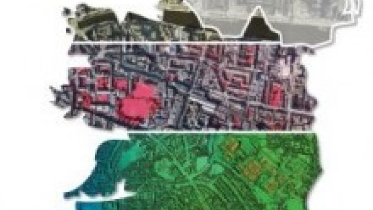
New Aerial Photography for Ireland
Aerial mapping company, Bluesky, has unveiled plans to photograph the whole of The Republic of Ireland from the air to create the most up-to-date high resolution photomap of the country. It will add 70,000 square kilometres of brand new aerial photography to Bluesky’s existing archive. To be flown in 2015, nationwide coverage will be at 25 cm resolution with higher – 12.5 cm - coverage for selected urban areas.
Bluesky will simultaneously capture colour infrared imagery (CIR) and will produce accurate 3D terrain maps. Bluesky announced the Ireland project at the GIS Ireland Conference held in Dublin on 16th October 2014.
There exists a real need for high quality, high accuracy and up-to-date geographic data for the whole of The Republic of Ireland, said Bluesky’s Managing Director, Rachel Tidmarsh. Bluesky’s experience in large data capture programmes, gained over the last fifteen years in the UK and beyond, places the company in a great position to achieve this. Bluesky also has a proven track record in creating and bringing to market innovative products from the source data, such as tree mapping and solar potential maps, which will be offered in due course, Tidmarsh added.
DTM and DSM
Bluesky will capture high resolution, leaf on, aerial photography and colour infrared imagery for the whole of The Republic of Ireland during the spring and summer months of 2015. Digital Terrain and Digital Surface Models (DTM / DSM) will subsequently be created. Planes equipped with the latest Vexcel cameras will operate out of multiple flying bases, including Dublin, Cork, Shannon, Knock and Donegal, to ensure maximum optimisation of all flying opportunities.
Products from the Bluesky data capture will include 25 cm resolution coverage for the whole country with 12.5 cm resolution data for selected urban areas including Dublin, Cork, Limerick, Galway, Waterford, Drogheda, Dundalk and Wexford. In addition, a national Digital Terrain Model and Digital Surface Model will be created. The first datasets, available in a variety of GIS ready formats as well as online at Bluesky’s Mapshop, are expected to be launched to market in the third quarter of 2015 and Bluesky has already committed to a three-year update cycle for core data products.
Bluesky is an expert in the capture of remotely sensed data and the production of innovative geographic data products. Bluesky recently launched to market the first ever detailed National Tree Map of England and Wales, is providing technical lead in a European Commission funded project into a web-based renewable energy rating platform and has close ties with the University of Leicester working to develop solutions for air quality mapping and night-time aerial surveys. In addition, in partnership with Getmapping, Bluesky has recently been awarded a multi-million pound contract for the supply of geographic data to UK Central Government organisations.

Value staying current with geomatics?
Stay on the map with our expertly curated newsletters.
We provide educational insights, industry updates, and inspiring stories to help you learn, grow, and reach your full potential in your field. Don't miss out - subscribe today and ensure you're always informed, educated, and inspired.
Choose your newsletter(s)


