New Android Tablet for High-accuracy GIS Applications with Professional GIS Software
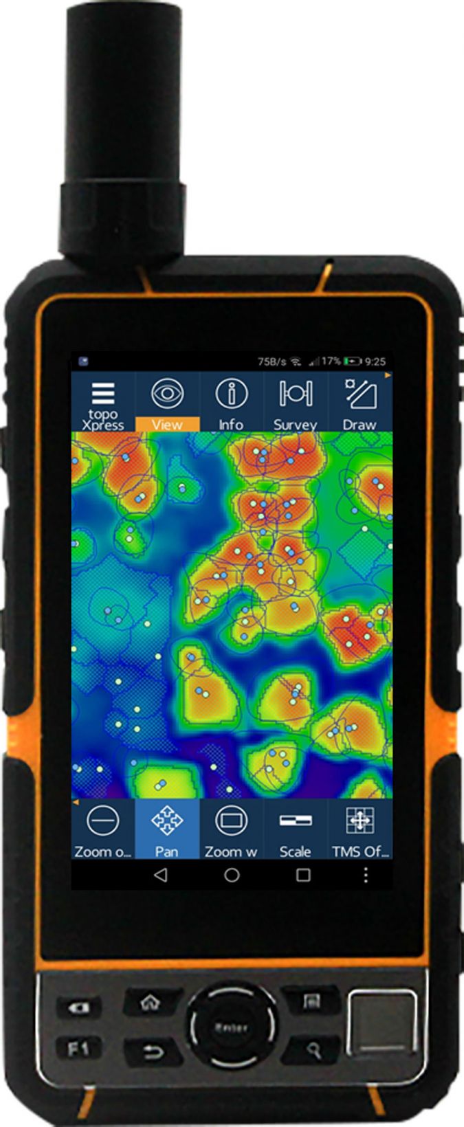
Elnav has launched its E-Tab series: industrial-level Android tablets with high-accuracy GNSS inside. The E-Tab series is designed for GIS professionals in the field and has advanced features for handheld, easy-to-use, cost-effective centimetre-level-accurate GIS data collection.
Hakan Karagöz, international sales director of Elnav, comments: “This system provides a complete solution for GIS professionals who want an easy-to-use, state-of-the-art system with high-accuracy data collection in the field. We can now provide centimetre-level accuracy with industrial handheld tablets for GIS data collection professionals.”
Centimetre-level accuracy in the field
There are two accuracy options available in the E-Tab series. The E-Tab 5R is designed with a 432-channel dual-frequency GNSS receiver inside for network RTK operations, allowing for centimetre-level accuracy in the field. The second option is sub-metre accuracy with a 72-channel single-frequency receiver, not just on network RTK but also sub-metre accuracy with SBAS.
- The E-Tab series is fitted with high-level industrial standards such as Android 6.0, ARM Cortex A72 Quad Core 2.5GHzx10, 4GB RAM + 64GB ROM, 5.5″ 1080×1920 FHD 500cd/m2 sunlight readable capacitive screen, 4G, MIL-STD810G, IP67, and a 6,000mAh battery
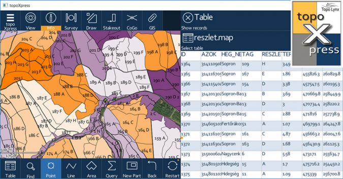
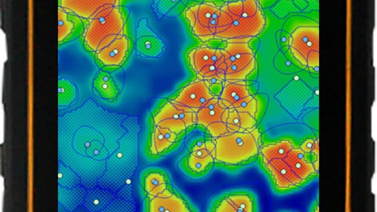
The most important feature of the E-Tab series is the professional GIS software inside: TopoXpress.
TopoXpress is an efficient GIS and surveying application for Android, developed with many advanced features such as:
- Productive data collection: job templates, GNSS surveying, stakeout, intelligent forms, calculated fields, lists, GoGo, GIS functions.
- Offline and online work (Google Drive, TMS, WMS, KML).
- Customizable templates, layers and forms. Responsive user interface.
- Extensive support of GNSS receivers, projection systems, geoids, shift grids.
- Support of wide range of vector (map, shp, mif, dxf, txt, csv, dat, dbf, tab, mid) and raster (jpeg, ers, tiff, geotiff, png, lan, bil, bmp) formats.

Value staying current with geomatics?
Stay on the map with our expertly curated newsletters.
We provide educational insights, industry updates, and inspiring stories to help you learn, grow, and reach your full potential in your field. Don't miss out - subscribe today and ensure you're always informed, educated, and inspired.
Choose your newsletter(s)


