New Association to Promote Aerial Surveying in Europe
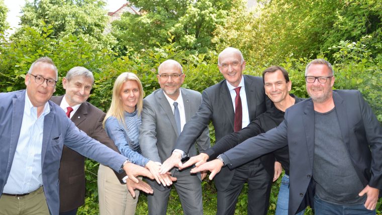
Some of the leading names in European aerial mapping have come together to create a new association promoting the benefits of aerial surveying to the wider commercial and government sectors. Similar in concept to the USA's MAPPS (the national association of firms in the surveying, spatial data and geographic information systems fields), the European Association of Aerial Surveying Industries (EAASI) was incorporated on 6 June. This was immediately followed by the association's first board meeting.
In attendance were Simon Musäus, senior vice president of COWI, who was elected as EAASI president, André Jadot, CEO of Eurosense and appointed vice president of EAASI, and Rachel Tidmarsh, managing director of Bluesky International who was appointed treasurer of the new association. Also present were EAASI founding members Giovanni Banchini, president and CEO of CGR SPA, Aicke Damrau, managing director of GeoFly, Klaus Legat, area manager for Vermessung AVT, and Florian Romanowski, president of Opegieka.
Simon Musäus, president of the newly-fledged alliance, sees the founding of the EAASI as an important chapter in the history of aerial surveying. “By working together across geographical boundaries, political divides and commercial opportunities we can create a platform from which our industry can develop the strong future it deserves,” he commented.
Rachel Tidmarsh, managing director of UK-based Bluesky International and newly appointed treasurer of EAASI, added: “This is an exciting time for aerial surveying with many opportunities being created by technological innovations in virtual reality, smart cities, connected systems and digitalization. By working together we can create a future for aerial mapping that is far greater than the sum of its parts.”
The benefits of aerial surveying
Following the inaugural meeting, EAASI published its articles of incorporation including a public manifesto, administrative documents and an action plan to achieve its goals. These include promoting the benefits of aerial surveying, improving awareness of aerial survey data within fields such as digitalization, information systems and virtual reality and defining, maintaining and promoting best practice within the aerial surveying industry.
The newly elected EAASI Board also announced the next Annual General Meeting which will take place on 4 and 5 December 2019 and an eagerly anticipated Aerial Survey Summit, both to be held in Brussels, Belgium. These events will enforce the association’s objective to facilitate networking, provide information and promote the generation of a sustainable market for geoinformation using aerial surveying.
The association founders encourage industry stakeholders from across Europe to join and become part of the future of aerial surveying in the region.
The first edition of the European Aerial Survey Summit was held in Denmark in December 2018. GIM International published an extensive report on this gathering.

Value staying current with geomatics?
Stay on the map with our expertly curated newsletters.
We provide educational insights, industry updates, and inspiring stories to help you learn, grow, and reach your full potential in your field. Don't miss out - subscribe today and ensure you're always informed, educated, and inspired.
Choose your newsletter(s)


