Open Source Geospatial Mapping Software to Help Solve Real-world Problems
1904labs, a digital transformation consulting firm, and Bayer Crop Science, a division of German life sciences company Bayer AG, have jointly released a new geospatial mapping framework to the open source community. The framework, ol-kit, is a free, easy-to-use, map component toolkit built with React and OpenLayers and is compatible with many popular open source tools in the geospatial community.
Geospatial technology has captured the attention of the public eye in the current crisis with maps being created to track Covid-19 cases, essential supplies, and more. However, many existing mapping frameworks are costly or not robust enough to meet these crucial challenges. While geospatial tools are some of the most expensive and complex software, ol-kit gives anyone these comprehensive capabilities at no cost.
Interpreting the Data
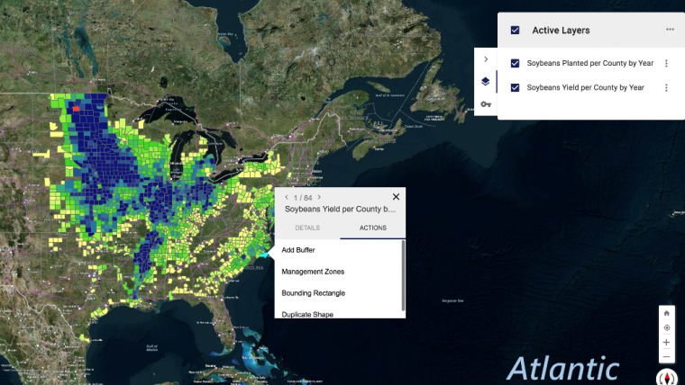
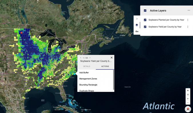
Bayer and 1904labs started working on this mapping framework four years ago. Internally, the ol-kit is a backbone to many of Bayer’s applications for managing fields and research experiments, monitoring yields, and more. These applications gather a huge amount of data. Without the interactive map, driven by ol-kit, it would be impossible to interpret the data.
“This is an important piece of functionality from which small businesses, governments and community organizations will see tremendous benefit. Contributing to the open source community wasn’t something that our group had done before, but it was well worth the effort, and I can’t wait to see how ol-kit is used,” said Shaun Diltz, principal product manager at Bayer Crop Science.
With open source software, its core code is available for anyone to view, change or use in their own way free of charge. Typically more cost effective than proprietary software, open source software also benefits from community collaboration to make it better, more secure and stable.
The Power of Open Source
Robin Carnahan, fellow at Georgetown University, and previous director of the state and local practice at the federal General Services Administration’s tech consultancy team, 18F, said: “It’s great to see a big international enterprise and a small business collaborating to create something really valuable for the larger community – and to make it freely available to them. That’s the power of open source.”
As the use of location plays an ever-increasing role in our global economy, open sourcing ol-kit will enable small business and community organizations alike to leverage its geospatial capabilities to study and solve critical challenges that they previously may not have been able to afford to tackle. During the pandemic, smaller municipalities with minimal IT budgets can use ol-kit’s fully customizable toolkit to analyse patterns within their communities to better contain the virus. It can also be applied to provide helpful insights and chart trends in areas like census tracking, election mapping and combating natural disasters such as wildfires.

Value staying current with geomatics?
Stay on the map with our expertly curated newsletters.
We provide educational insights, industry updates, and inspiring stories to help you learn, grow, and reach your full potential in your field. Don't miss out - subscribe today and ensure you're always informed, educated, and inspired.
Choose your newsletter(s)


