Quantum Spatial Teams up with Hawkeye for Lidar Capture
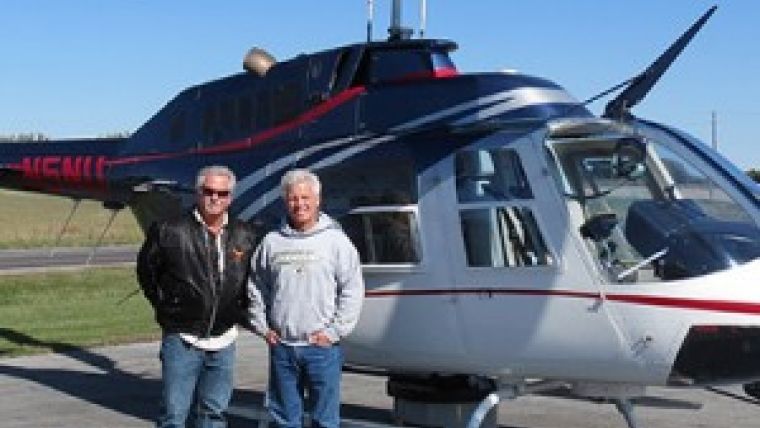
Quantum Spatial has recently entered into a Master Services Agreement with Hawkeye Helicopter to provide precision helicopter-mounted Lidar solutions to both Quantum Spatial and Hawkeye clients. Through this agreement, Quantum Spatial’s high accuracy mapping system pod will be mounted on one of Hawkeye’s helicopters when clients request helicopter Lidar capture.
The Lidar system is mounted to the belly of the helicopter while an on-board computer collects and stores the datasets or point clouds. Each of the points contained within these datasets or point clouds are geographically referenced, which is tying each point to a precise latitude, longitude and altitude or elevation. These datasets or point clouds are then analysed, classified and compiled by Lidar specialists.
The system was recently used to fly a transportation solution project in Kansas with favourable results. Robert Merry, senior geodesist at Quantum Spatial, served as the project manager for the job. Merry noted Hawkeye’s professionalism and piloting skills allowed them to coordinate and navigate around challenges that were specific to this project, giving Quantum Spatial the ability to achieve a solution that exceeded their client's expectations.
The technology and deliverable data that results through Quantum Spatial and Hawkeye’s agreement is a unique and valuable asset because capturing images from a helicopter-based system allows orthophotos to be captured from much lower altitudes, resulting in a higher resolution and more detailed image.
Craig E. Chaney, L.S. of Hawkeye stated that their main focus is to provide the safest, most dependable and professional aerial platform services with both their fixed-wing and roto-wing aircraft fleet. Partnering with Quantum Spatial will allow them to continue and expand upon this tradition by offering thieir own and Quantum Spatial’s expertise to clients, he added.

Value staying current with geomatics?
Stay on the map with our expertly curated newsletters.
We provide educational insights, industry updates, and inspiring stories to help you learn, grow, and reach your full potential in your field. Don't miss out - subscribe today and ensure you're always informed, educated, and inspired.
Choose your newsletter(s)


