Reality Modelling Goes Mainstream
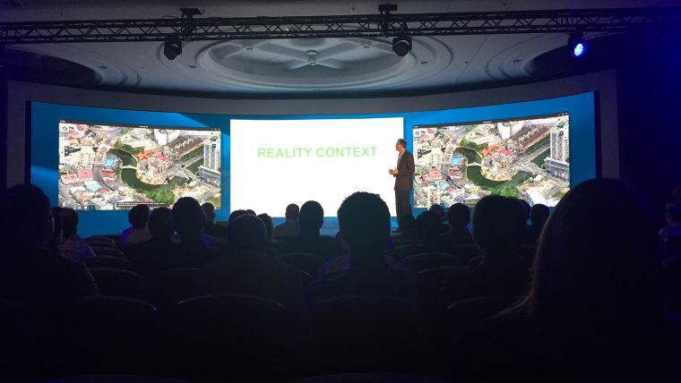
At Bentley System’s annual conference for infrastructure thought leaders, CEO Greg Bentley presented a keynote speech. He stated that since Bentley Systems’ acquisition and assimilation of ContextCapture software in 2015, the proliferation of reality modelling across users’ projects – and across Bentley’s software portfolio – guarantees that it will become a mainstream contributor to infrastructure project delivery and asset performance. Reality modelling describes the potentially continuous capture of infrastructure assets’ as-operated conditions for processing into engineering-ready reality meshes, and their 'enlivening' for immersive interaction.
To date, reality modeling has processed digital photos acquired from ground-level and/or aerial photography, and in particular from the burgeoning industrial use of unmanned aerial vehicles (UAVs). At the Conference, Bentley announced a significant breakthrough in ContextCapture planned to be available next month: available point-clouds from laser scanning can now be combined with available photos, as “hybrid inputs,” for reconstruction into a reality mesh. The advantages of reality modelling – in the case of laser scanning, the superior engineering-ready mesh result, compared to the bulky and unintelligent point-clouds themselves – are now compelling in every circumstance, across the range of scanner or camera devices, of asset characteristics, and of capture conditions.
Cited by Bentley for the mainstream embrace of reality modelling were the following observations:
- reality modelling was credited by fully 15 (of 60+) finalists (selected by independent expert juries) at the Be Inspired Awards, presenting at the Conference. In the category of Reality Modelling, the three finalists represent the diverse scope and phases of infrastructure already taking advantage, ranging from:
- campus (construction): Kano laboratory, Waseda University, Technical Research Institute, Obayashi Corporation, Automated Recognition of Work Progress at a Construction Site;
- corridor (design): CH2M Fairhurst Joint Venture, A9 Dualling Programme, Transport Scotland; and
- city (operations): City of Helsinki, Helsinki 3D+.
- submission categories of the other finalists crediting reality modelling likewise
- substantiate the diversity of adoption: Building, Government, Rail and Transit, Roads, Utilities and Communications, and Water Treatment Plants;
- ContextCapture processing has been reported in 68 countries year to date, and as intensively in Asia and developing countries as in Western countries; and
- ‘embedded’ ContextCapture software licensing is rapidly expanding from the specialised processing centres of leading 3D city mapping specialists to leading vendors of industrial UAVs.
Bentley Systems’ software developments to broaden reality modelling workflows which were demonstrated at the Conference include:
- Bentley’s new OpenRoads Designer intrinsically incorporates Descartes’ capabilities to (semi-automatically) process pertinent ground-level features from reality meshes, for instance to classify vegetation, terrain, and breaklines;
- The Conference Technology Keynote highlighted spectacular new performance in immersive viewing of reality meshes, including geocoordinated digital engineering model information, from any browser-ready device;
- Bentley Institute research activities reported in the Conference’s Visions of the Future Forum, and from the September, 2016 Digital Rail Symposium, which included academic collaborators, showed advancements in automated classification from reality meshes and geocoordination;
- Bentley’s subsidiary Real World Capture, Inc. continues its mission of proof-of-benefits in new use cases for increasingly diverse and challenging facilities, and their project work for owners, incorporating geocoordinated digital engineering models through ProjectWise, was shown; and
- Bentley’s forthcoming OpenRail ConceptStation was previewed, leveraging reality modeling for conceptioneering.
Finally, new joint opportunities spurred by reality modelling were demonstrated by executives of other major technology companies serving infrastructure engineering organisations:
- Ray O’Connor, CEO of Topcon Positioning Systems, joined Greg Bentley in the Conference Keynote to introduce constructioneering, which leverages reality modelling through joint cloud services to converge surveying, engineering, and construction;
- Jacques Lubetzki, Bureau Veritas Executive vice president, Europe, joined Greg Bentley in the Conference Keynote to introduce inspectioneering, which leverages reality modelling to converge engineering and inspection; and
- Eckard Eberle, CEO Siemens Process Automation, during his Keynote in the Oil and Gas and Chemicals Forum will demonstrate, in Siemens COMOS Walkinside software, leveraging reality modeling to train a process plant’s operators in emergency response.
Greg Bentley thanked the constituents among users and industry partners who have demonstrated here at The Year in Infrastructure 2016 the benefits they have realised so far and their auspicious expectations, as reality modelling goes mainstream. He believes to go on to see reality modelling answering the question as to how drones, mixed reality devices, the industrial Internet of Things – and in fact, 'digital natives' – will converge to advance infrastructure engineers, project delivery and asset performance.

Value staying current with geomatics?
Stay on the map with our expertly curated newsletters.
We provide educational insights, industry updates, and inspiring stories to help you learn, grow, and reach your full potential in your field. Don't miss out - subscribe today and ensure you're always informed, educated, and inspired.
Choose your newsletter(s)


