Romania Flood Mapping Contract
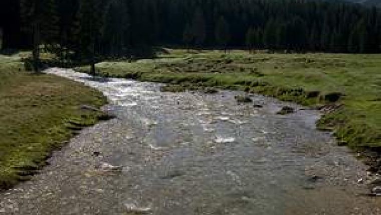
Blom Romania has signed a contract with the Romanian national water authority to develop plans for the prevention, protection and flood mitigation effects in the Ialomita, Calmatui and Mostistea river basins in Romania. The total area of these basins measures some 13,776 sq km, equivalent to approximately 5% of the total surface area of Romania. The expected value of the agreement is approximately EUR2.3 million and work will start in 2011.
Specific objectives of the project are to create detailed hydrological models and to produce flood hazard maps using hydraulic modeling. Flood hazard maps will help the authorities to establish priorities and make technical and financial decisions on the efficient management of flood risk across the region. Blom will use key competencies and existing technological resources, by providing consulting services for master planning of the river management, GIS integration in WIMS system and training.
National Administration Romanian Waters is a public institution, financed from its own funds and coordinated by the Ministry of Environment and Forestry. It comprises eleven water administrations, organised by hydrographical basins.
Its main responsibility, as a single operator for the natural water resources, is to ensure a unitary and long lasting water resources management both for the surface and for the underground waters, and their protection against exhaustion and degradation.

Value staying current with geomatics?
Stay on the map with our expertly curated newsletters.
We provide educational insights, industry updates, and inspiring stories to help you learn, grow, and reach your full potential in your field. Don't miss out - subscribe today and ensure you're always informed, educated, and inspired.
Choose your newsletter(s)


