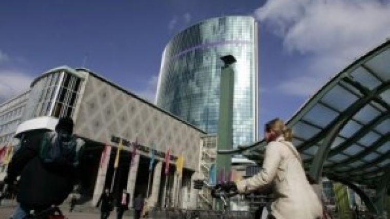
Rotterdam Host City of 2014 European Navigation Conference
The Netherlands Institute of Navigation (NIN) is inviting navigation professionals to attend the annual European Navigation Conference, to be held from 14 to 17 April 2014 in the World Trade Center in Rotterdam. ENC-GNSS 2014 is being organised under the auspices of the European Group of Institutes of Navigation (EUGIN) and will focus on technology, innovation and the transfer to business applications in the PNT sector.
The conference will contain both plenary and parallel sessions, poster presentations and an exhibition. Special sessions will be organised for innovations and their commercialisation. The ENC-GNSS 2014 conference will cover all aspects of positioning, navigation and timing (PNT) developments and applications.
GNSS infrastructure
Status and modernisation of GNSS systems and their augmentations. A special session will be organised to cover experiences with the Galileo IOV satellites.
Signals of opportunity
The use of UWB, Wi-Fi, DAB, AM/FM etc. in combination with GNSS for positioning and navigation.
Integrated positioning
Integration of GNSS, inertial and other sensors and systems. MEMS, NEMS and chip size atomic clocks; algorithms and methods.
LF-navigation
Status, developments and applications of LF navigation systems such as eLoran and its differential services.
Vulnerability
Vulnerability of GNSS signals and of critical infrastructure; technologies for mitigation. Spectrum and Interference Issues. Jamming and spoofing.
Aviation applications
The use of GNSS for civil and military aviation including GBAS and SBAS systems; PBN, integrity and continuity, ADS-B, certification for GNSS precision approach. Navigation of unmanned air vehicles (UAV).
Maritime applications
E-navigation, port entry and docking systems; AIS applications; inland waterway navigation; the human factor.
Land applications
Applications for road and rail; road charging mechanisms; location based services (LBS), precision agriculture. Autonomous vehicles.
Indoor location and navigation
Positioning in GNSS denied or degraded environments. New sensors/signals, methods and applications. Advanced GNSS signal processing.
Surveying, hydrography
Land and hydrographic surveying; precise engineering. Monitoring of critical infrastructure. Use of PPP and RTK. Subsea positioning.
Space and atmospheric weather
Monitoring troposphere and ionosphere for correcting GNSS observations; meteorology; scintillation. Special attention will be paid to TRANSMIT, an EU funded Marie Curie project to support the mitigation of ionospheric threats.
Algorithms and methods
Cycle slip detection, bridging GNSS outages, ambiguity resolution, estimation techniques. GNSS signal investigation using high gain antennas.
New applications and services
Sports, robots, health.
GNSS non-positioning applications
Timing. Remote sensing.
GNSS interoperability
Common clocks. Ambiguity resolution. Coordinate frames.
GNSS receivers and antennas

Value staying current with geomatics?
Stay on the map with our expertly curated newsletters.
We provide educational insights, industry updates, and inspiring stories to help you learn, grow, and reach your full potential in your field. Don't miss out - subscribe today and ensure you're always informed, educated, and inspired.
Choose your newsletter(s)


