Sharing and Reusing Geospatial and Modelling Data
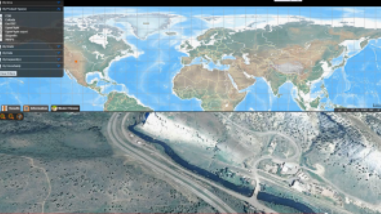
Last month, Envitia, UK, announced the launch of Envitia Discovery 2.7 for modelling and simulation. Envitia Discovery allows organisations to seamlessly share and reuse geospatial and modelling data. Users are able to rapidly discover, transform and stream geospatial data into modelling and simulation applications using open standards.
Powerful production workflows coupled with an intuitive web portal ensure that end users are never more than a few clicks from finding their required datasets. Envitia Discovery reduces the time spent hunting for data and instead allows more time for data visualisation and exploitation in systems.
Envitia Discovery 2.7 bridges the gap between live and synthetic environments for the first time, providing an end-to-end workflow management for over 100 data types. These include all standard geospatial formats such as GeoTIFF, Shape, VMap as well as 2D and 3D simulation data assets such as OpenFlight, CDB, Collada VBS2, and 3DS data.
The Envitia Discovery management tools include highly configurable business logic that takes the pain out of repetitive data management tasks and puts data into the hands of users. The Envitia Discovery web portal, provides search tools to make it easy for data managers and data modellers to find, evaluate, download and reuse relevant data assets, helping to reduce project times and cost.
Data Volume
The sheer volume of data that is available – including data from web services, sensors, and ‘big data’ resources – presents data managers with a growing problem: Customers are spending an increasing amount of time trying to find data that is fit for purpose from their expanding data holdings, said Matthew Wood, product manager, Envitia.
The company recognises that it is more important for these organisations to focus on exploiting data in their end systems. It developed Envitia Discovery to help reduce the time and cost associated with effective data management and distribution. Repetitive data processing and publications tasks are automated freeing up users to focus on visualisation and analysis. The integration of live and synthetic environments delivered through a browser based solution can also lower the total cost of ownership of systems by using fewer tools across the enterprise, Wood added.
Envitia Discovery is built on open standards which ensures interoperability with legacy and future systems. The solution is rapidly implemented to fit alongside an organisations existing data infrastructure and can immediately help reduce the timeline for integrating operational GEOINF into synthetic environments.

Value staying current with geomatics?
Stay on the map with our expertly curated newsletters.
We provide educational insights, industry updates, and inspiring stories to help you learn, grow, and reach your full potential in your field. Don't miss out - subscribe today and ensure you're always informed, educated, and inspired.
Choose your newsletter(s)


