Smart Societies Prioritise Geoinfo
GIM International Interviews Ingrid Vanden Berghe
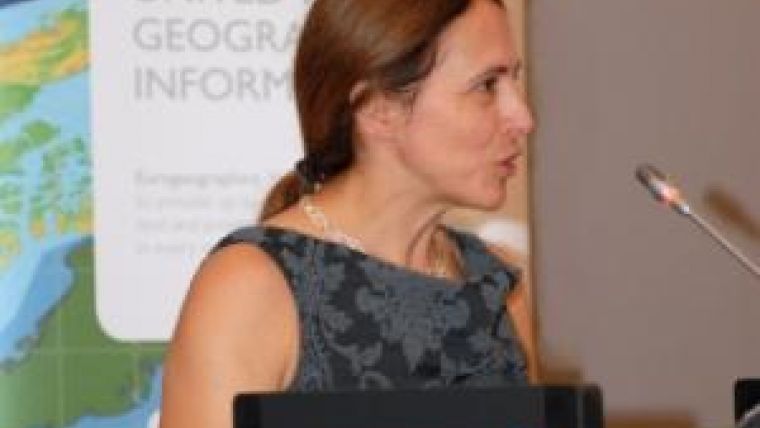
Putting geoinformation in the mix makes policies more sensible and sustainable, says Ingrid Vanden Berghe. She even devised her own formula: e-gov + g-gov = i-gov (electronic government + geographic government = informed government). Vanden Berghe is president of EuroGeographics and executive director of the National Mapping Agency in Belgium. Showing the added value of geoinformation to the world beyond the geomatics field is of the highest importance in order to remain relevant, she explains in this interview with GIM International.
Tell us a little about EuroGeographics, its members and its goal.
The goal of the organisation, its purpose in fact, is to further the development of the European Spatial Data Infrastructure (SDI) through collaboration in the area of geospatial information while at the same time representing the capabilities of our members. In short: we want to contribute to society by developing spatial data infrastructures. Our association has 56 members from 44 countries; those members are the national mapping authorities or cadastral organisations of countries on the European continent, both within and outside of the European Union.
Within EuroGeographics, we see it as our mission to improve the status and the position of our members both in their respective countries and in Europe by emphasising the importance of geoinformation, to facilitate access to the members’ data and the members’ expertise, and to provide those members with a strong voice to defend or advocate their position to the world.
Are you working together with other associations or learned societies?
Of course! We have a very good and close relationship with EuroSDR, for example, and also with others including Euref and EULIS. We are members of the Open Geospatial Consortium (OGC), CEN and ISO. Our strategic partners are mainly covering the same topics or those complimentary to ours.
What about cooperation with other continents?
We have a close relationship with PSMA Australia which is the body that brings together the mapping authorities of the Australian continent. We have good relationships for example with the United Nations initiative on Global Geospatial Information Management (UN-GGIM), UNGEGN, International Federation of Surveyors (FIG) and the Global Spatial Data Infrastructure association (GSDI), all of which are global organisations. Our links across the world are strong.

Value staying current with geomatics?
Stay on the map with our expertly curated newsletters.
We provide educational insights, industry updates, and inspiring stories to help you learn, grow, and reach your full potential in your field. Don't miss out - subscribe today and ensure you're always informed, educated, and inspired.
Choose your newsletter(s)


