Successful Photography Trial with Unmanned Aerial Vehicle
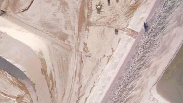
Kragten has fulfilled a trial with the X100 of Gatewing, an Unmanned Aerial Vehicle (AUV), equipped with a camera. The airplane as mapped an area of 1,200 x 1,400m with an accuracy of 5cm.
The area can be acquired in 45min with the X100 flying at 150m. As this is below the clouds, the plane can operate nearly every day. It will operate according to a pre-programmed flight plan and does this in a safe way. After processing the orthophoto, the image can be used as a background map for designs or used to create a Digital Terrain Model (DTM) to establish volumes.
Kragten is to use the AUV for projects needing recent information and where a default photographic imaging flight is too expensive.
Image: Courtesy of GateWing

Value staying current with geomatics?
Stay on the map with our expertly curated newsletters.
We provide educational insights, industry updates, and inspiring stories to help you learn, grow, and reach your full potential in your field. Don't miss out - subscribe today and ensure you're always informed, educated, and inspired.
Choose your newsletter(s)


