TatukGIS Editor for Property Value Reassessment
The Erie County, Pennsylvania, assessment department in the US recently used the TatukGIS Editor product when performing a county-wide reassessment of property values. TatukGIS Editor was used to query appraisal data in vector parcel map layers and visualise results, in order to view comparable homes within neighbourhoods, and export the query results to spreadsheets for further manipulation.
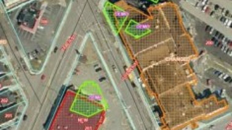
For example, one of the map layers contained recent sales data, which helps determine the fair market value of comparable homes in a neighbourhood. Assessors used the Editor with aerial photograph change analysis to help determine, and verify in the field, which parcels had likely changed or had seen new construction or demolition since the previous flyover, and to analyse building footprints and dimensions on parcels subject to reassessment. The Editor also helped assessors plan routes for field work.
Additionally, the Erie County planning department used the free TatukGIS Viewer product in a county-wide municipal GIS project. This project initially involved distribution of flood zone data to local municipalities, to enable each municipality to see newly affected buildings in order to plan accordingly and notify its citizens. Each municipality was provided individually exported shape files of their community, aerial photography, and the TatukGIS Viewer. The shape files and aerial photography were organised into multi-layer map projects for ready use in the Viewer. The TatukGIS Viewer was chosen for this project because its simplicity. This is important because some municipalities have limited computer equipment or technical expertise.
Though some larger municipalities were already using GIS, for some smaller municipalities this was their first introduction to GIS. Most municipalities continue to use the TatukGIS Viewer in some capacity, such as by zoning officers to help visualise what is on the ground to aid in their zoning analysis. Some use the software to visualise CAD drawings of water or sewer lines, etc., potentially together with their GIS map layers. Furthermore, it is beneficial to the county to have more eyes on the GIS data. Because the municipalities are more familiar with their community, they are better able to spot and report errors, improving the accuracy of county data.
While Erie County continues to use ESRI ArcGIS software to maintain its GIS data, it has successfully used the TatukGIS Editor and Viewer products to extend GIS technology to additional users and smaller municipalities - where software complexity, license costs, and user training requirements would otherwise be significant barriers.
The TatukGIS Editor is a professional desktop GIS mapping and data editing application which is highly customisable and extendable using the built-in scripting engine with object API. The TatukGIS Viewer product is like the Editor, but without features for editing and generating data, 3D mapping, vector and raster layer rectification, and scripting and customisation.

Value staying current with geomatics?
Stay on the map with our expertly curated newsletters.
We provide educational insights, industry updates, and inspiring stories to help you learn, grow, and reach your full potential in your field. Don't miss out - subscribe today and ensure you're always informed, educated, and inspired.
Choose your newsletter(s)


