Teledyne Optech Launches Airborne Lidar Sensor for Corridor Mapping
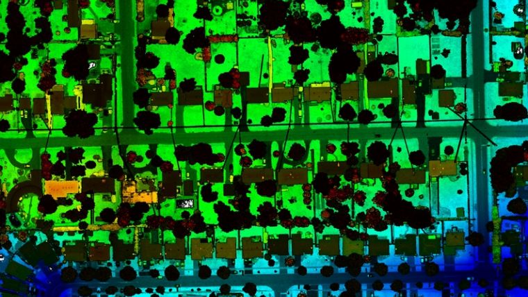
Teledyne Optech, the Canada-based advanced Lidar sensors company, has extended its Galaxy line-up to include the CM2000, a new sensor specifically designed for corridor mapping.
With a true measuring rate of up to two million points per second, the Galaxy CM2000 delivers precise detail of fine corridor elements such as electric wires and conductors, distribution power poles, railway signs and cellular tower antennas, as well the ability to detect fine changes in the ground over time for pipeline monitoring.
The CM2000’s adjustable field of view provides users with the flexibility to narrow the field of view to the exact width of their corridor and therefore concentrate the laser measurements on their precise target. This combination of an adjustable field of view and a measurement rate of two million points per second makes it possible to deliver data resolution that allows for advanced analytics, insights and decision making.
Improving the Mapping of Infrastructure
The Galaxy CM2000 has one of the smallest laser footprints in the market, allowing for complete detection of towers, transmission and distribution wires and attachment points on power poles. In addition, the CM2000 has built-in roll compensation that corrects for turbulence on the aircraft, maintaining a constant swath width on the ground.
“The true advantage of the Galaxy CM2000 is its ability to improve the mapping of the infrastructures that we all rely on every day – including the electric grid we count on for power, or the roads and rail we depend on for safe travel. This is accomplished by providing an astounding level of detail via true two million points per second straight to the ground and a small laser footprint that allows for the modelling of complex targets like electric towers and distribution wires,” commented Malek Singer, airborne product manager at Teledyne Optech.

Value staying current with geomatics?
Stay on the map with our expertly curated newsletters.
We provide educational insights, industry updates, and inspiring stories to help you learn, grow, and reach your full potential in your field. Don't miss out - subscribe today and ensure you're always informed, educated, and inspired.
Choose your newsletter(s)


