The Growing Importance of PNT
Activities carried out by Commission 4 are highly interdisciplinary, and many of these activities are co-ordinated in close co-operation with IAG sister organisations, US Institute of Navigation (ION), International Society of Photogrammetry & Remote Sensing (ISPRS) and the International Federation of Surveyors (FIG). Recognising the central role of GNSS in providing high-accuracy positioning information today and into the future, Commission 4 has a focus on developing tools that enhance and assure the positioning performance of GNSS-based positioning solutions for a range of geodetic and other scientific applications as well as engineering and other societal ones. In addition, Commission 4 promotes the study of back-ups to GNSS and integrated positioning solutions based on conventional and unconventional sensors to assure positioning, navigation and timing (PNT) in GNSS-challenged environments. In the past few years, the scope of Commission 4 has broadened to include geodetic remote sensing, using synthetic aperture radar (SAR), Lidar and satellite altimetry systems for a variety of applications.
One of the primary examples of inter-organisational collaboration is co-sponsorship of professional workshops and seminars, such as the International School on Mobile Mapping. Held for the first time in 2012, the 2nd International School on Mobile Mapping will take place at the National Cheng-Kung University, in Tainan, Taiwan, 9-13 June 2014 [http://conf.ncku.edu.tw/mmt2014/]. This is an interdisciplinary event co-sponsored by IAG Commission 4, FIG, ISPRS and ION. Another example of a highly interdisciplinary and inter-organisational event is the Mobile Mapping Symposium series, with the most recent 8th Symposium held in Taiwan in 2013 and the next event to be held in Sydney, Australia, in 2015.
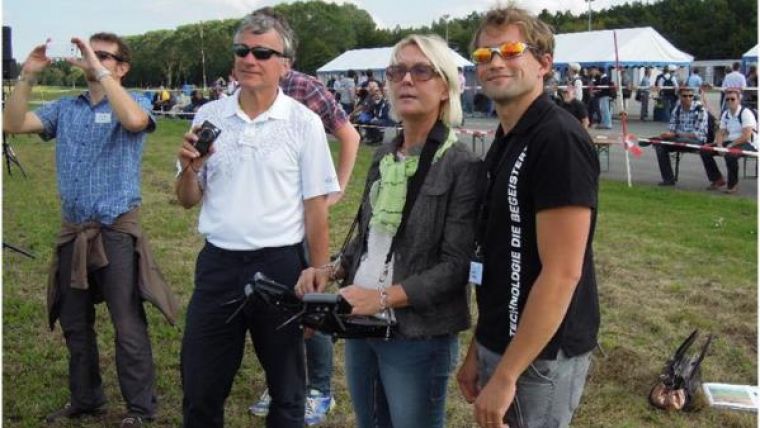
A few recent and upcoming highlights of the numerous activities of Commission 4 include: (1) Sub-commissions 4.1, 4.2 and 4.5 co-sponsored the 2nd Joint International Symposium on Deformation Monitoring held at the University of Nottingham, UK, in September 2013; (2) Sub-commission 4.2 co-sponsored the UAV-g 2013 conference, with a focus on the use of unmanned vehicles in surveying, mapping and precision framing applications, held in September 2013 in Rostock, Germany; (3) Sub-commission 4.4 is co-organising the 17th General Assembly of WEGENER on Earth deformation and the study of earthquakes using geodesy and geodynamics, to be held in Leeds, UK, in September 2014; (4) Sub-commission 4.5 co-organised the 10th International Symposium on Location Based Services at Tongji University, Shanghai, China in November 2013 as well as (5) the International Workshop on GNSS Precise Point Positioning, held in Ottawa, Canada, in June 2013; and (6) Sub-commission 4.6 co-organised the International Symposium on Planetary Exploration and Sciences and the International Summer School on Planetary Remote Sensing and Geodesy, both held in July 2013 in Shanghai, China.
A major upcoming event is the joint Symposium on Sustaining Land Imaging: UAS to Satellites, which is being co-organised by the ISPRS Technical Commission I, Sensors and Platforms for Remote Sensing, and IAG Commission 4. This event is part of the William T. Pecora Memorial Remote Sensing Symposium, organised by the American Society for Photogrammetry & Remote Sensing, and will be held in Denver, Colorado, USA, from 17-20 November 2014 [http://www.asprs.org/ASPRS-Conferences/blog.html].

Value staying current with geomatics?
Stay on the map with our expertly curated newsletters.
We provide educational insights, industry updates, and inspiring stories to help you learn, grow, and reach your full potential in your field. Don't miss out - subscribe today and ensure you're always informed, educated, and inspired.
Choose your newsletter(s)


