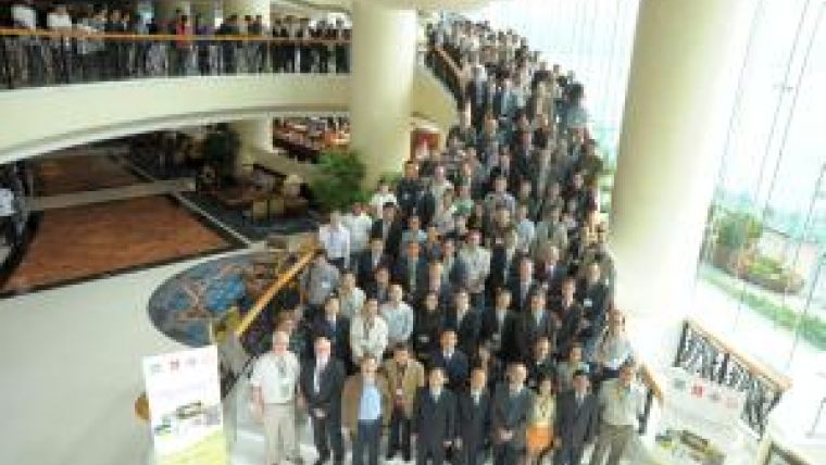
The IAG and FIG Relationship
The link between these two geospatial ‘sister’ organisations is a fundamental one that goes back many years. Because geodesy has always provided the foundation for surveying and mapping, many geodesists with an ‘applied’ focus have been interested in FIG matters. A glance at the commission structures of the IAG and FIG highlights this strong link in a number of ways. The strongest relationship is between IAG Commission 4, ‘Positioning & Applications’, and FIG Commission 5, ‘Positioning & Measurement’. However, IAG Commission 1, ‘Reference Frames’, and the IAG’s IGS (International GNSS Service) and IERS (International Earth Rotation & Reference System Service) conduct activities and generate products very relevant to FIG members. On the other hand, FIG Commission 4, ‘Hydrography’, and Commission 6, ‘Engineering Surveys’, apply geodetic concepts and systems such as reference frames, height datums, high precision geodetic instrumentation and sophisticated estimation methods.
This is not surprising, since modern geodesy is closely associated with indispensable measurement tools such as GNSS (and ground base station infrastructure), critical applications such as ground and structural deformation monitoring, new terrestrial mapping technologies such as mobile imaging/scanning systems, fundamental products such as the International Terrestrial Reference Frame (ITRF), geoid models, and conceptual advances such as the World Height System.
Joint Activities
However, the relationship is based on more than just common technical tools and systems. The IAG and FIG also ‘rub shoulders’ in a number of international forums such as GEO (Group of Earth Observation), ICG (International Committee on GNSS), and the GGIM (Global Geospatial Information Management), where they are often complementary – the FIG representing the high accuracy users and service providers (including national mapping organisations and CORS custodians) and the IAG representing the geodetic (theory and practice) community providing vital services to FIG constituencies and other geospatial communities represented by the Joint Board of Geospatial Information Societies (JBGIS). The JBGIS is therefore an important forum for the IAG, where it works with all its geospatial ‘sister’ organisations to promote awareness of the value of geospatial data, technologies and standards for science and society.
The IAG and FIG also organise a series of joint conferences in mobile mapping technology and deformation monitoring, have established joint working groups, support attendance at each other’s conferences, sponsor special conference sessions and workshops, and in general conduct a range of outreach activities.
Technical Seminar
One concrete example of the close cooperation between the IAG and FIG is the ‘Reference Frame in Practice’ Technical Seminar to be run from 4th to 5th May 2012, just prior to the FIG’s Working Week meeting in Rome, Italy. This is the first time such a workshop, in which there will be speakers from both the IAG and FIG communities, has been run. This workshop is targeted at operational geodesists or surveyors who have to deal with reference frame issues on a daily basis, within government or industry. See 1 for further details.
There is no doubt that we will see even more joint IAG/FIG activities in the years to come.

Value staying current with geomatics?
Stay on the map with our expertly curated newsletters.
We provide educational insights, industry updates, and inspiring stories to help you learn, grow, and reach your full potential in your field. Don't miss out - subscribe today and ensure you're always informed, educated, and inspired.
Choose your newsletter(s)


