The Integration of COWI’s Aerial Mapping Business in Hexagon Geosystems
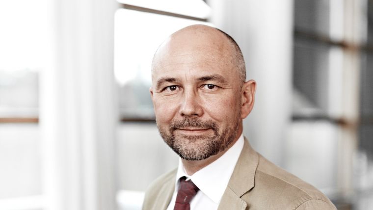
Q&A with Simon Musäus, Senior Vice President Mapping, COWI
In early 2020, Hexagon announced it would be acquiring COWI’s aerial mapping business, which is known for its leading position in the European market for aerial data capture and geodata digitalization. We asked Simon Musäus, senior vice president of COWI’s Mapping division, how the acquisition is taking shape and what the future holds – for COWI, for Hexagon and for Musäus himself.
The COWI aerial mapping business is set to be incorporated into Hexagon’s Geosystems division. Hexagon is mainly known as a manufacturer and developer of geospatial hardware and software solutions. How will adding the COWI aerial business – which means expansion into the services and consultancy arena – change Hexagon’s market position?
COWI has been involved in the HxGN Content Program for several years. We joined as a partner in 2015 and have been overseeing the programme in Europe since 2017. When we become part of Hexagon’s Geosystems division, we will retain our current role of managing and growing the HxGN Content Program across Europe together with our established network of collection partners. We see Hexagon’s acquisition of COWI’s aerial mapping business as a logical next step to strengthen the generation of consistent and rich global geospatial databases under one roof. As such, Hexagon’s position in the market will remain unchanged. Hexagon’s Geosystems division will continue to provide cutting-edge airborne surveying technology, processing software and content services that capture, measure and visualize the physical world to enable data-driven transformation across industry ecosystems. The acquisition can be compared to when North West Geomatics joined Hexagon in 2014 to start the HxGN Content Program in North America.
Will the Hexagon aerial mapping division be headquartered in Denmark?
Although COWI’s aerial mapping business will be integrated into the Geospatial Content Solutions (GCS) unit of Hexagon’s Geosystems division, we will keep our current geographical distribution with offices in Denmark, Sweden, Norway, Germany, Poland and India. We will focus on the management and growth of the HxGN Content Program. Today, more than 60% of the programme is acquired by partnering aerial mapping companies. Our role is to coordinate the acquisition and sales channels.
On the mapping side, we will continue to deliver on our existing mapping contracts and maintain the services that our customers know and expect.
Can you tell us more about the synergy benefits of the acquisition?
The acquisition will accelerate Hexagon’s mission to provide customers with access to the largest on-demand library of professional-grade and quality-controlled geospatial data. COWI’s expertise in European operations together with the well-established processing network will continue to benefit the further development of the European branch of the HxGN Content Program, including the support of new applications. For example, we have seen that the engineering consulting and construction industries are increasingly drawing on geospatial data during project lifecycles, from automated design support to operations and maintenance. Furthermore, uniform, recent and consistent geospatial content over large areas will become more important as raw material for artificial intelligence and data-driven decision processes.
How will the acquisition affect your activities at the European Association of Aerial Surveying Industries (EAASI)?
EAASI represents the interests of the aerial surveying industry in Europe. Hexagon, alongside other companies offering a combination of hardware, software and content solutions, represents an important facet of the industry. EAASI will continue to develop a strong platform that takes care of the diversity of its members and their common interests. The core values of EAASI are as valid for Hexagon as they are for other members – we can all learn from each other and support a strong association. I will remain president until the closing period of the acquisition to avoid disrupting the ongoing work of the association, and thereafter as determined by the board of EAASI. I will not stand in the next election.


Value staying current with geomatics?
Stay on the map with our expertly curated newsletters.
We provide educational insights, industry updates, and inspiring stories to help you learn, grow, and reach your full potential in your field. Don't miss out - subscribe today and ensure you're always informed, educated, and inspired.
Choose your newsletter(s)


