The Parallels between Surveying and Journalism
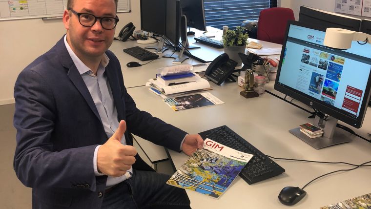
Wim van Wegen, content manager of 'GIM International', recently attended the Year in Infrastructure Conference in the UK, organised annually by Bentley Systems. Comments by the company's chief communication officer, Chris Barron, set him thinking about the parallels between surveying and journalism. In this column, he probes the similarities further against the backdrop of today's data-driven society and the digital transformation.
In October I was in London to attend the Year in Infrastructure Conference, organised annually by Bentley Systems. Chris Barron, chief communication officer at the software solution provider for engineers and construction professionals, kicked off the Media Day with warm words for the journalists who had travelled from all over the world. Barron referred to the fact that the journalism profession is under attack these days. But just as surveyors contribute to buildings and infrastructure all over the world, helping to transform our planet into a more sustainable and liveable place, he said, journalists also play a vital role by informing citizens across the globe about societal challenges as well as the solutions that are available to overcome them.
What both professions have in common is data. Surveying and journalism are both about gathering information and utilising techniques to distribute it. Surveyors capture, analyse, modify and visualise data. Eventually, the geospatial information is delivered to a broad spectrum of users, ranging from urban planners to governmental organisations – e.g. cadastres and local authorities – and from mining companies to sectors such as construction and infrastructure. The digital transformation has democratised geospatial information; location-based apps on smartphones are just one everyday example. Data captured by surveyors finds its way to the masses. If you replace the word ‘surveyors’ with’ journalists’, the previous sentence still makes complete sense!
There are more similarities. The influence of technology and digitalisation has revolutionised both the media and the geospatial landscape. Smartphones and the internet have created a shift in how news is distributed and consumed over the past decade. The same goes for the way in which geospatial information is used and, more particularly, in the infrastructure for bringing geospatial data to the masses – not only for business and governmental purposes, but also for everyday use by citizens.
Geospatial data can be used to create digital twins: 3D reality models that form a digital representation of the built environment. Real-time, continuously updated digital twins can be made available for various stakeholders such as clients, consultants and contractors, but also – and perhaps most beneficially in promoting open and democratic societies – to citizens! This is where geodata – acquired by professional surveyors and mappers – becomes visible as an important contributor to creating a better world. A digital twin can be a very helpful tool in creating solid support for urban planning projects, for example. Governments can develop new plans for cities together with their citizens. This way, geodata forms an important building block for our society. Journalism is a building block too. It informs us what is going on and paints – or at least colours in – a picture of the world for us. In a way, journalism also creates reality models. People consume the same news, but may interpret it differently. The same holds true for geospatial data, which can be interpreted in different ways as well.
Digitalisation has definitely contributed to reducing the limitations on how data can be acquired, and hence to increasing the possibilities for presenting it. To conclude this observation in a fair and balanced way, I have to emphasise that this works for both surveying and journalism. The new methods of gaining, modifying and distributing information have changed the world forever. And if we are careful and follow the right path, future generations will be able to conclude that the digital revolution made our planet a better place. I am sure that geospatial data holds the key to finding solutions for many of today’s societal issues, whether by reducing the impact of climate change, fighting poverty or removing borders that block equality. Let me put it like this: both surveyors and journalists can be key contributors to achieving the Sustainable Development Goals.

Value staying current with geomatics?
Stay on the map with our expertly curated newsletters.
We provide educational insights, industry updates, and inspiring stories to help you learn, grow, and reach your full potential in your field. Don't miss out - subscribe today and ensure you're always informed, educated, and inspired.
Choose your newsletter(s)


