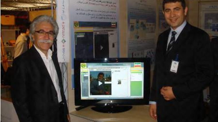
Turkish Software for Iranian Agriculture
Turkish software company Netcad's geographic information systems and engineering solutions are being implemented with success in Iran's agriculture sector. Within this context, 140,000 parcels of agricultural land are being evaluated and enrolled into the geo-database. Successive implementations bring in new enquiries.
Using and managing the agricultural recourses is also important for the Turkey's neighbour country Iran as the rest of the world. Netcad Ulusal CAD & GIS Solutions and Netcad's Authorised Official Solution Partner in Iran Parsineh Tarhe Atieh (PTA) are working together on the geographic information system solution for the agricultural resources of the Iran's Golestan state.
The chairman of the board of PTA, Mr Ezzatollah Mohammadi says Golestan is one of the states of North West of Iran which covers most of the green area and is the most valuable and strategic state in terms of the arable lands. The State Directorate of Jihad Agriculture at the Gorgan, the capital city of Golestan state, is one of the areas where such innovative approaches are being implemented. In this sense, studies about Geographic Information Systems (GIS) and Remote Sensing (RS) solutions are coming forward on land and agriculture management subjects to use the resources efficiently and to monitor the production."

Value staying current with geomatics?
Stay on the map with our expertly curated newsletters.
We provide educational insights, industry updates, and inspiring stories to help you learn, grow, and reach your full potential in your field. Don't miss out - subscribe today and ensure you're always informed, educated, and inspired.
Choose your newsletter(s)


