Sensing Change underneath Vegetation
BradarSAR – A New Approach for Mapping and Change Detection
Already established as a cartographic mapping system, high-resolution X- and P-band airborne radar interferometry and imagery overcome several optical imagery limitations. Today, they provide valuable inputs for recurrent landscape monitoring through change detection algorithms that are able to detect, among other things, deforestation, illegal settlements and soil erosion, to mitigate environmental impacts from hydropower reservoirs and to monitor third-party interference in pipelines. An innovative X- and P-band radar, the BradarSAR, which is deployable on aircrafts with hatches already certified for cameras, promises to make this technology accessible worldwide.
By Julianno Sambatti and Dieter Lübeck, Bradar, Brazil
Mapping the landscape has been the primary application of airborne radars. Since they are independent of weather and light, airborne radars reliably collect data from the landscape for a variety of purposes. Multi-band radar complex data, i.e. X- and P-band, amplitude and phase data, provides a great deal of landscape information. Today’s reached quality of artificially coloured X/P radar images meet the needs of those accustomed to working with optical imagery. Additionally, when high-resolution airborne radar images are acquired with the same geometry at different times, very small changes in the landscape can be detected.
Bradar – a member of the Embraer group and specialised in designing radars and providing radar remote sensing – has mapped about two million square kilometres in the Amazon region including Brazil, Colombia, Venezuela and the entire Panama territory with its X- and P-band SAR radar OrbiSAR. Combining both bands is critical to obtain geographical information of the terrain and vegetation; the X-band cannot penetrate foliage while the P-band can, which allows the generation of a precise DTM below the densest forests. Advances in Bradar’s radar processing technology as well as the development of a compact radar system, the BradarSAR, makes a variety of airborne radar imagery applications possible.
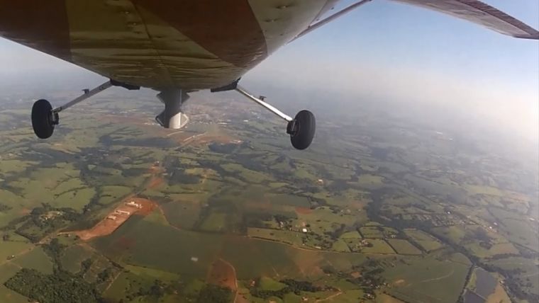
Weighing 60kg, BradarSAR can be installed like digital cameras or Lidar systems in aircraft with certified hatches, enabling the technology to be shipped and used on a contract basis for mapping and monitoring projects by any air survey company anywhere in the world. The current BradarSAR 3000 version installed in a single-engine Cessna 182P collects radar data at between 1,500 and 3,000ft of altitude with swaths of between 1,500 and 4,000m on both sides of the aircraft. This radar can be fitted into larger platforms as well, such as a two-engine Navajo, Vulcanair P68 and similar aircrafts, to collect data at 10,000ft with much larger swaths. The system thus reduces costs by optimising flight characteristics with respect to aircraft operational costs. For example, while larger projects requiring high data-acquisition rate can employ costlier aircraft and wider data collection swaths, smaller projects might reduce costs by employing a single-engine aircraft and narrower swaths.
Detecting Deforestation
In the Amazon region, Bradar’s airborne InSAR system, the OrbiSAR, is being used to monitor 2,800km2 of protected area at the Santo Antônio hydropower plant on the Madeira River to detect not only deforestation, illegal invasions and settlements but also flooding events, dying vegetation and growth of aquatic plants. Illegal deforestation usually starts with selective logging followed by forest degradation and the establishment of agriculture and/or pastures. Currently, forest monitoring in the Amazon region is performed with low-resolution optical satellite images which are able to record past deforestation during the dry season, but not to prevent it from happening. To effectively counter illegal deforestation, early identification of selective logging is necessary. These are precise changes in the forest canopy, and high-resolution X-band images are ideal for detecting the removal of single trees in a dense forest.
Illegal Settlements
In addition to detecting individual tree logging, the P-band enables the detection of activity underneath the forest canopy, like the construction of fences, tracks and roads. Such information can be tied to an alerting system for dynamic forest monitoring. The environmental police of the Brazilian state of São Paulo (southeast region) employs the OrbiSAR for a monitoring application every 45 days in a coastal area of 8,000km2 covered by the Atlantic rainforest. Here, deforestation results from the illegal sprawling of slums which usually start with the construction of a single house under vegetation, often invisible to conventional optical monitoring systems. Deforestation also results from the predatory exploitation of forest resources such as palm heart. In this case, rather than deforestation itself, a monitoring system is aimed at detecting illegal activities in and around the forest.
Forest Floor DTMs
The construction of water reservoirs in the Amazon region for hydropower generation usually requires flooding of extensive forested areas. Removing the forest in these areas before flooding events avoids an excessive amount of decaying organic matter that depletes dissolved oxygen in the water, causing fish mortality and radically altering the aquatic ecosystem. Conventional techniques employed to create DTMs for water reservoir projects might be subject to precision and interpolation errors due to their incapability of penetrating dense forest vegetation. In addition, DTMs created with imprecise data result in inadvertent flooding of portions of forested areas that will contribute to altering the aquatic ecosystem after the reservoir has been filled.
Conversely, P-band-based DTMs allow the precise determination of future reservoir limits below the forest, so that measures are taken to mitigate impacts before filling the reservoir. If the reservoir is already established, P-band imagery can still be used to obtain the spatial limits of forested areas that were unintentionally flooded. Belo Monte, currently the largest hydropower plant project in the world, uses Bradar radar imagery to perform mapping before flooding, and monitoring during flooding and operation, for this purpose. As a result, the Brazilian National Agency for Electric Energy (ANEEL) already includes this technique in the national standard for creating and managing artificial water reservoirs.
Monitoring Erosion
Erosion is a problem in the tropics because it removes the fertile soil top layer and, depending on its intensity, can substantially alter the landscape. The flipside is that sedimentation results from deposition of eroded soil. Currently, the technique of differential interferometry based on satellites (DInSAR) employs mainly X-band data, which allows only the quantification of terrain changes in constructed or open areas without any vegetation.
The DInSAR technique employs phase difference in a different way from regular interferometry. Regular interferometry uses the phase difference of data taken of the same point in the landscape from different points in space, providing height information and generating digital elevation models (DTMs). DInSAR uses the phase difference of data taken of the same point in space but at different times to gain relative information of terrain movement up to millimetres. By monitoring the landscape with airborne DInSAR, one can pinpoint critical erosion-prone areas where actions need to be taken to prevent a worsening of the situation. P-band DInSAR allows the quantification of erosion and/or sedimentation in areas covered by vegetation where other bands lose their coherence between the measurements.
Future Developments
Third-party interference is a major cause of oil and gas pipeline damage that ends up costing millions of dollars annually. Thus, monitoring the landscape in and around pipelines is a priority to pipeline operators. Test results have supported BradarSAR’s high-resolution monitoring capability. By combining the analysis of the amplitude and phase, BradarSAR detected controlled changes, ranging from holes of 0.5 x 0.5m to vehicles, created between two subsequent data-collecting flights. While amplitude images clearly detected vehicles that appeared in or disappeared from the area of interest, coherence images (the complex correlation coefficient involving both coherence and phase) detected small details of the landscape on a fine scale, such as tracks in the trial field created by cars that crossed the field during the experiment.
In this application, a monitoring system using the X- and P-bands is able to detect minor changes in the landscape and to monitor the entire pipeline area with high frequency and reliability. As opposed to satellite sensors, one can design an airborne radar-based monitoring system with as many radars and aircraft as necessary, which allows optimal data acquisition geometry, monitoring frequency and detection power. This could also open up opportunities for other industries such as mining, roads and railways and help their assets to be planned and monitored more effectively.
Biographies of the Authors
Julianno B. M. Sambatti holds a degree in agronomic engineering from the University of São Paulo, Brazil, and a PhD in ecology from the University of California at Davis, USA. He has been working at Bradar since 2010 on developing new applications and businesses for the company’s remote sensing X/P-band radars.
Dieter Lübeck holds a degree in cartographic engineering from FH Munich, Germany. He has been the general manager of the remote sensing division at Bradar since 2002 and has been working with airborne radars for remote sensing applications since 1998.

Value staying current with geomatics?
Stay on the map with our expertly curated newsletters.
We provide educational insights, industry updates, and inspiring stories to help you learn, grow, and reach your full potential in your field. Don't miss out - subscribe today and ensure you're always informed, educated, and inspired.
Choose your newsletter(s)


