SimActive Introduces New Drone Processing Service
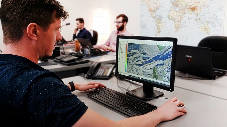
Canadian photogrammetry software manufacturer SimActive has launched a new unmanned aerial vehicle (UAV) data processing service based on Correlator3D. Clients can now upload full projects and have SimActive experts generate optimal results from their imagery, including DSMs, DTMs, 3D models and orthomosaics.
As opposed to common cloud-based solutions where outputs are generated automatically and delivered as-is, the new offering includes quality control by photogrammetry specialists. Manual tagging of ground control points is also performed as part of the service.
“We are glad to allow clients with no experience in photogrammetry an access to a high-end processing software”, said Dr Philippe Simard, president of SimActive. “An added benefit is our simple pricing scheme, which guarantees them fixed and predictable project costs.”
Powered by GPU technology and multi-core CPUs, Correlator3D ensures high processing speed to support rapid production of large datasets. SimActive has been selling its photogrammetry software solution to leading mapping firms and government organizations around the world.

Value staying current with geomatics?
Stay on the map with our expertly curated newsletters.
We provide educational insights, industry updates, and inspiring stories to help you learn, grow, and reach your full potential in your field. Don't miss out - subscribe today and ensure you're always informed, educated, and inspired.
Choose your newsletter(s)


