Site Suitability and Efficiency
Automated Calculation of Wind Potential for Small Wind Turbines
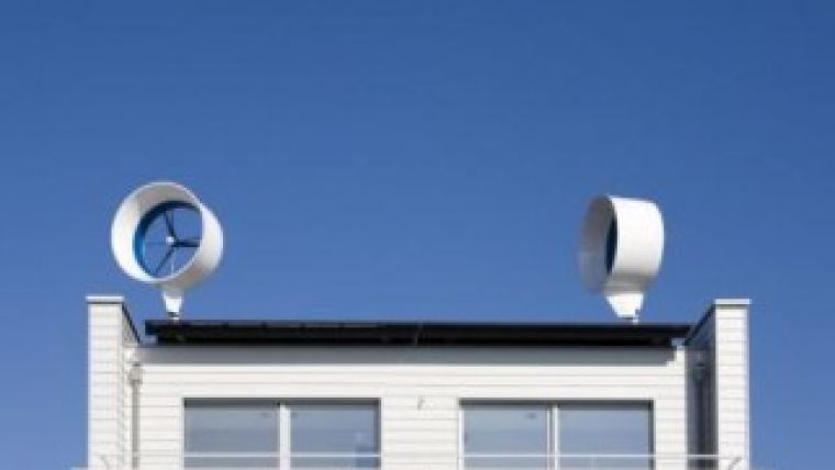
Renewable energies are affecting the energy market of today and tomorrow, and wind energy represents significant potential for further expansion. While the construction of large wind turbines is very widespread, small wind turbines are a less-common topic of discussion. Thanks to their versatility, small wind turbines can be installed at almost every site where the appropriate wind speed is present. However, it is currently often difficult to identify such sites due to a lack of available wind speed data. Within the WIND-AREA research project, a method has been developed of modelling wind currents in order to highlight suitable sites for small wind turbines.
| Figure 1, Horizontal small wind turbines, (Courtesy: erikdegraaf/Fotolia.com). |
The wind speed at a potential site is influenced by the structure and the land cover of the Earth’s surface. Topographic structures and obstacles (e.g. houses) lower the wind speed. Valleys or street canyons can act as accelerating channels of higher wind speeds due to the ‘Venturi effect’; this is the name given to situations in which higher wind speeds result from the same amount of air being pressed through narrow areas in the same amount of time as on a plain area. Different land covers such as grass or vegetation have different effects on the wind speed. The impact of such effects becomes less significant, the higher the observed air layer is above ground. Conversely, the lower air layers in which small wind turbines are installed can display extremely varying wind speeds.
High wind speeds are essential for small wind turbines to run efficiently because a site’s potential energy output increases exponentially by the power of three in relation to the wind speed. In other words, a two times higher wind speed results in an eight times higher energy harvest.
Determining the wind speed can be costly, which lowers the potential profitability of sites. Thus in order to find sites with high wind speeds suitable for small wind turbines, it was desirable to develop a method which models the wind currents in low air layers.
Methodology
The methodology is based on combining high-resolution laser-scanning data with wind data aided by tools of fluid mechanics. A methodology for deriving wind potential maps for large wind turbines has already been developed. This method was assessed for potential use in analysing the situation for small wind turbines and optimised for the wind current simulation in low air layers. Classic wind potential maps assign roughness values to different land covers. However, such experimentally determined values are insufficient for the simulation of wind currents in low air layers. Therefore, WIND-AREA provides a methodology which takes detailed account of the interference of wind currents by built-up areas, surface structure and surface roughness. Hence, in contrast to the classic methods used to analyse site potential, WIND-AREA uses high-resolution 3D geodata. Preliminary simulation results in different resolutions (Figure 3) has confirmed the necessity of using high-resolution geodata.
The full article is online at http://member.gim-international.com. Please subscribe for free using the Subscribe button in the left hand column.

Value staying current with geomatics?
Stay on the map with our expertly curated newsletters.
We provide educational insights, industry updates, and inspiring stories to help you learn, grow, and reach your full potential in your field. Don't miss out - subscribe today and ensure you're always informed, educated, and inspired.
Choose your newsletter(s)


