Steel Arch Bridge Test for Mobile Scanning
This article was originally published in Geomatics World.
Data collection by laser scanner has previously relied on repeated set-ups. Today mobile scanners can collect data around 80% faster. Following a gap analysis, the R&D team at 3D Laser Mapping (3DLM) identified a lack of flexibility in current systems serving the mobile market.
The ROBIN system has been designed to meet the ever-increasing needs and demands of field-based survey teams who rely on their equipment to provide accurate data in the shortest possible time.
A critical part of the R&D process is validation where the technology is tested against requirements of the industry and benchmarks are set for system capabilities. As part of a recent demonstration of the ROBIN +PRECISION system, a scan was made of the Silver Jubilee Bridge in Runcorn. The aim was to test ease of operation, time taken to scan and the level of accuracy compared to previous data collected.
The Challenge
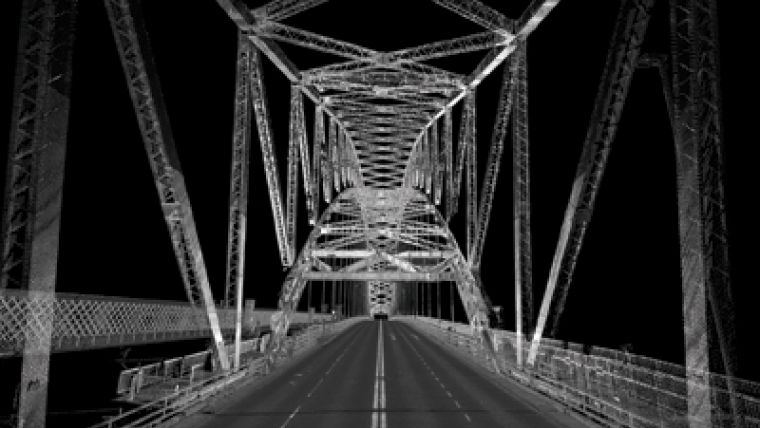
Completed in 1961, the Silver Jubilee Bridge has an elevation of 87 metres over the River Mersey and is constructed out of 6000 tons of steel. At nearly 500m long, it remains one of Europe’s longest steel arch bridges. The bridge had previously been surveyed by total station, so control points could be used to measure the success and accuracy of the trial.
ROBIN has a relative accuracy of around 10-20mm, but often, when dealing with complex structures such as bridges and large building constructions, engineers and surveyors prefer to collect the most accurate data-set possible.
With a survey grade fibre-optic gyro (FOG) IMU, ROBIN can be used on projects where there is little or no GNSS, such as urban mapping, tunnel surveying and forestry mapping. In the case of the Silver Jubilee Bridge, overhead steelwork presented potential issues maintaining GNSS coverage.
Generally speaking, FOG IMUs have better accuracy than cheaper MEMs (Micro Electromechanical System). In particular, attitude accuracy is higher and gyro random walk is less, which leads to reduced drift when there is no satellite coverage. Therefore, the absolute accuracy of a FOG IMU will be better than a MEMS IMU when there is little or no GNSS.
ROBIN’s unique mounting system allows the 9kg pod to be attached to either a backpack or a vehicle mount. Scanning can easily be performed by a solo operator. Dr Cox had the system attached to the 3DLM truck and it was calibrated in less than ten minutes. With only four passes needed (two per lane) a detailed scan was performed in around 30 minutes, including the roads at either end of the bridge, capturing data at over a million points per second.
Back in the office, the data was processed using the bundled software package, MMProcess. In a little under three hours, a full dataset and point cloud of the Silver Jubilee Bridge was available, demonstrating an accuracy of 7mm.
The Results
The captured scan data was compared to control points provided by the client. These control points were placed on the ends of the white painted lines on the bridge carriageway, which were surveyed and levelled using total stations. None of the control points were used to control (tie down) the scan data. When compared to the scan data the resulting RMS in elevation was 7mm with a standard deviation of 7mm.
The numerous overhead sections of steelwork on the bridge presented GNSS difficulties, but the survey-grade IMU used kept the IMU drift to a minimum, allowing the system to achieve a very high level of accuracy.
For further information on 3D Laser Mapping, visit www.3dlasermapping.com
This article was published in Geomatics World March/April 2017

Value staying current with geomatics?
Stay on the map with our expertly curated newsletters.
We provide educational insights, industry updates, and inspiring stories to help you learn, grow, and reach your full potential in your field. Don't miss out - subscribe today and ensure you're always informed, educated, and inspired.
Choose your newsletter(s)


