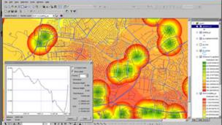
SuperGIS Spatial Analyst 3.0
SuperGeo Technologies has released SuperGIS Spatial Analyst 3.0, containing a variety of spatial modelling and analysis algorithms. The specialised analysis tool allows a user-friendly interface to accomplish complicated spatial analysis tasks.
By employing SuperGIS Spatial Analyst 3.0, users can access the functionality of the integration of vector and raster data, analysis of spatial relationship, best location search, analysis of service area, multiple layer query, and statistics of raster data, etc.
SuperGIS Spatial Analyst 3.0 supports to import point, line, polygon, and raster data for specific functions. In this release, hydrologic analysis is supported to offer many analysis functions such as basin, fill, flow accumulation, flow direction, flow length, sink, snap pour point, stream link, stream order, and watershed. Users are able to handle these data in various formats.
For manipulation, SuperGIS Spatial Analyst 3.0 requires SuperGIS Desktop 3.1.

Value staying current with geomatics?
Stay on the map with our expertly curated newsletters.
We provide educational insights, industry updates, and inspiring stories to help you learn, grow, and reach your full potential in your field. Don't miss out - subscribe today and ensure you're always informed, educated, and inspired.
Choose your newsletter(s)


