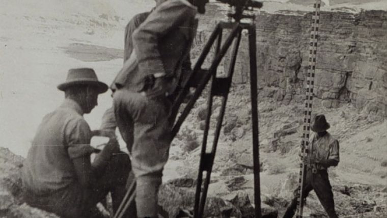
Throwback Thursday for Geoprofessionals
It is important that mapping and surveying professionals move with the times, but sometimes it is also good to look back and see how things were several years ago. And what better day to do that than...Throwback Thursday! This phenomenon is widely popular on social media platforms such as Instagram, Twitter and Facebook, where people post nostalgic pictures from the past, often accompanied by hashtags such as #TBT or #ThrowbackThursday. So we’ve decided to dust off a selection of geomatics articles and take you on a journey back in time, to see what we were reporting on four, five or even more years ago. We hope you enjoy this trip down memory lane!
Benchmarking Image-based DSM Generation
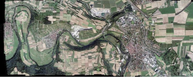
In view of the rapid advancement in photogrammetric technology and software for 3D reconstruction, the European Spatial Data Research Organisation (EuroSDR) initiated a benchmark project on image-based generation of Digital Surface Models (DSM). Such a comparative evaluation provides a platform for software developers to demonstrate the potential of their ongoing work. Furthermore, it can help users like National Mapping and Cadastral Agencies responsible for state-wide generation of high-quality DSMs to understand the applicability of such tools while triggering further developments based on their needs. The comparative results from 10 participants presented here provide comprehensive insight into the landscape of dense matching algorithms and demonstrate the current potential of image-based photogrammetric data collection. Read on...
3D Modelling of a Gold Mine Using Laser Scanning
A gold mine in China’s Shandong Province is the country’s first underground mine to use 3D laser scanning. During a one-year project, 20km of major tunnels were scanned and the point clouds processed. The resulting ‘digital mine’ enables better planning and designing, checking of production quantities and monitoring of tunnelling and mining machines, as well as improved safety. The authors describe how laser scanning has been used for 3D modelling of a gold mine. Read on...
Digital Photogrammetric Workstations
For over a century, images taken from above-ground platforms have been major data sources for topographic mapping, creation of base maps and many other uses. For the past decade or more, data has been extracted from the imagery using computer software on what have become known as digital photogrammetric workstations (for short: DPWs). Some of the tasks can be performed almost fully automatically while others require extensive human involvement. To tie in with the new product survey on digital photogrammetric workstations published on our website, this article discusses the latest status and features. Read on...
Massive Point Clouds
The progress of computer technology still obeys the half-a-century old Moore’s law. Likewise, the capacity of sensors, the number and size of pixels in cameras and even the number of nozzles on print heads doubles nearly every two years. Yet the amount of data today’s sensors produce is growing faster than the processing and storage capacity of Data Base Management Systems (DBMS). As a result, the full potential of point cloud data such as the x,y-related heights from airborne Lidar or the x,y,z coordinates from terrestrial laser scanners remains unexploited. Read on...

Cadastre with Couleur Locale (Interview with Hernan de Soto)
A radical reappraisal of attitudes to the developing world is required of the geomatics profession. This is the view of Hernando de Soto, author of The Mystery of Capital, who in this interview offers GIM readers detailed insight into his concept of land registration for the poor. Land registration as means of escape from poverty is the major premise of De Soto, one of the foremost thinkers of our age on informal economy. Originally an economist, and president of the Peruvian Institute for Liberty and Democracy, he has shaped current thinking on land registration and its positive outcome for the poorest of the world. He shares his views at geospatial conferences all over the globe, and is presently working on two new books incorporating reflections on the world financial crisis, causes and outcomes, as well as ways to prevent a repeat performance. Publisher Durk Haarsma spoke to De Soto during a break from his hectic schedule, a peaceful writing retreat in Cornwall. Read on...

Value staying current with geomatics?
Stay on the map with our expertly curated newsletters.
We provide educational insights, industry updates, and inspiring stories to help you learn, grow, and reach your full potential in your field. Don't miss out - subscribe today and ensure you're always informed, educated, and inspired.
Choose your newsletter(s)


