UK Government Invests in Geospatial Data
The British government has announced a new Geospatial Commission to maximise the value of all UK government data linked to location, and to create jobs and growth in a modern economy. Its first task will be to work with government authorities and the Ordnance Survey by May 2018 to establish how to open up freely the OS MasterMap data to UK-based companies, and small businesses in particular.
The announcement is a further boost to the UK’s status as a world leader in digital innovation and an example of how advances in technology can be used to foster economic growth, deliver outstanding public services and generate savings for citizens.
Location-aware technologies are revolutionising the economy. From navigating public transport to tracking supply chains and planning efficient delivery routes, the digital services built on GPS and the current mapping data have quietly become everyday parts of daily life and commerce.
Databases of geospatial information
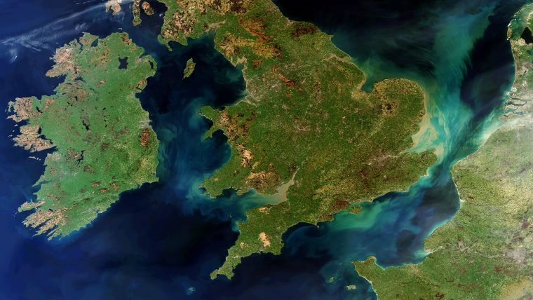
Huge amounts of value have been created by the new services made possible using databases of geospatial information – maps as well as the information linked to them, such as house prices or business addresses. This data, which government authorities produce in the course of delivering public services and maintaining laws and regulations, can be used to stimulate innovation in the economy and drive the development of the UK’s growing digital economy.
The new Geospatial Commission, supported by GBP40 million of new funding in each of the next two years, will drive the move to use this data more productively – unlocking up to GBP11 billion of extra value for the economy every year.
The new commission will draw together HM Land Registry, the Ordnance Survey, the British Geological Survey, the Valuation Office Agency, the UK Hydrographic Office and the Coal Authority with a view to:
- improving the access to, links between, and quality of their data
- looking at making more geospatial data available for free and without restriction
- setting regulations and policies in relation to geospatial data created by the public sector
- holding individual bodies to account for delivery against the geospatial strategy
- providing strategic oversight and direction across Whitehall and public bodies who operate in this area.
Digital innovation
First Secretary of State Damian Green said the UK leads the way in digital innovation, using it to drive productivity and growth and deliver the best public services to citizens. The UK has some of the best geospatial data in the world, much of which is held by public bodies, and the new Geospatial Commission will help Britain to turn this valuable government data into tangible benefits such as new jobs and savings.
Saul Klein, a partner at LocalGlobe, described the UK as a world leader in the open data movement, which has already helped to spawn global success stories like Citymapper. Opening up geospatial data shows how committed the UK government is to being the best place in the world for start-ups and innovative companies to use data to build amazing new products and services.
Professor Sir Nigel Shadbolt, chairman of the Open Data Institute, expressed his delight that the UK government is carrying through on the commitment in its manifesto to open up UK geospatial data. In particular, opening up the OS MasterMap will stimulate growth and investment in the UK economy, generate jobs and improve services. It will make it easier to find land for house-building, and enable the development of services that improve vital infrastructure, he added.

Value staying current with geomatics?
Stay on the map with our expertly curated newsletters.
We provide educational insights, industry updates, and inspiring stories to help you learn, grow, and reach your full potential in your field. Don't miss out - subscribe today and ensure you're always informed, educated, and inspired.
Choose your newsletter(s)


