Underscoring Benefits to Humanity
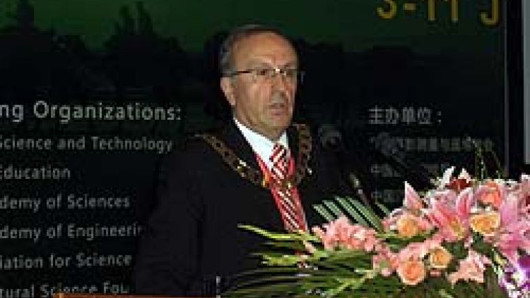
GIM International interviews Orhan Altan
Professor Orhan Altan, recently appointed president of the ISPRS, the international NGO representing more than a hundred nations and regions across the globe, believes the organisation should prioritise environmental monitoring and sustainable development and so contribute to achieving the Millennium Development Goals. International co-operation, says Altan, for advancement of knowledge, research, development and education in this field, would be boosted by greater publicity for ISPRS scientific achievements and successes and their translation into universally understood language. We asked him about his expectations and dreams as head of one of the most important bodies in the geomatics industry, and the legacy he hopes to leave behind. Professor Orhan Altan, recently appointed president of the ISPRS, the international NGO representing more than a hundred nations and regions across the globe, believes the organisation should prioritise environmental monitoring and sustainable development and so contribute to achieving the Millennium Development Goals. International co-operation, says Altan, for advancement of knowledge, research, development and education in this field, would be boosted by greater publicity for ISPRS scientific achievements and successes and their translation into universally understood language. We asked him about his expectations and dreams as head of one of the most important bodies in the geomatics industry, and the legacy he hopes to leave behind.
What are your main tasks as president?
My duties are to convene and preside over plenary sessions of congress, the general assembly and council, and co-ordinate activities of the technical commissions and working groups; to represent the society in its dealings with national and international organisations whose activities are of interest to the society, and co-operate with other international organisations concerned with photogrammetry, remote sensing, spatial information science, cartography, geodesy, surveying, and other similar disciplines; and to communicate with members on important matters regarding the society's activities.
What would you like to have achieved upon leaving office?
It's essential for any human being living on this planet to think about the future of their environment. This is currently the most significant issue for scientists, including those in ISPRS, whether or not they are working in an area related to environmental monitoring, climate change or global warming.
It is my opinion that the ISPRS should prioritise environmental monitoring and sustainable development. I believe that our sciences and technologies can contribute greatly to the environmental issues facing the planet. At the last ISPRS Congress in Beijing we formulated a statement, known as the ‘Beijing Declaration', which was passed by the General Assembly. Delegates reaffirmed their commitment to implementing the ISPRS vision for the twenty-first century, aiming to realise the full potential of information derived from imagery by encouraging research and development, and international co-operation. The ISPRS aligned itself with the goals of the Group on Earth Observation and its programme to establish a Global Earth Observation System of Systems. I would be very happy if the ISPRS continued to contribute to policies and measures aimed at achieving the Millennium Development Goals.
I also wish to publicise our science and technology, in the form of ‘ISPRS Outreach'. To achieve this we have to be prepared to translate the society's achievements into everyday language understood by the general public.
I want to continue our efforts to work more closely with the World Business Council for Sustainable Development (WBCSD). This should help the ISPRS to establish links with the commercial world in order to pursue matters relating to sustainable development.
Coming as I do from Turkey, I also wish to encourage greater involvement of countries from the Middle East in ISPRS activities.
What do you think is the best way to attract young people to the industry?
Since 2004, when I was congress director, the ISPRS has included a Youth Forum in its activities. This has led to the formal establishment of a Student Consortium within the ISPRS, which also has its own statutes. There have, in addition, been annual summer schools at various places around the world, and social activities to enable students to communicate with each other. The ISPRS Foundation has been established too, to provide financial support for people from developing countries, enabling them to improve their knowledge in the photogrammetry, remote sensing and spatial information sciences by providing travel grants and other forms of financial assistance.
Does the ISPRS have a role to play in attracting youngsters?
The ISPRS definitely has a role to play. Young people are the future of the society and we aim to encourage as many as possible to participate in our activities.
How do you view the role of the ISPRS in the field of geomatics?
The ISPRS is primarily involved in information from imagery. The acquisition and processing of imagery for the derivation of spatial information for users, however, not only involves the theory and applications of photogrammetry and remote sensing, but also the spatial information sciences. These sciences are integral to, and cannot be separated from, the activities of photogrammetry and remote sensing. The ISPRS range of activities is therefore described as ‘the photogrammetry, remote sensing and spatial information sciences'. Of the eight ISPRS technical commissions, which manage the technical activities of research and development, two cover photogrammetry, remote sensing and spatial information systems respectively. A further two overarching commissions cover data acquisition and education and outreach.
What level of co-operation has the ISPRS established with other international scientific organisations?
There has been close co-operation between the ISPRS and other international organisations for 25 years or more, with formal meetings taking place on an annual basis. In 2003 the Joint Board of Geospatial Information Societies was set up. This body has been operating very effectively since its creation and there has been increasing co-operation between the organisations over the years. (For more information see 1).
What do you believe are the primary tasks of ‘learned societies' in general?
I believe that the primary tasks of the ISPRS, as described in its statutes, should be those embraced by all learned societies in their fields of expertise. They include facilitation and co-ordination of excellence in research and development and the proper use of appropriate technology in the photogrammetry, remote sensing and spatial information sciences, as well as the development of standards. Convening international conferences with lectures, communications, discussions and, as appropriate, tutorials, exhibitions, technical visits and social events should be on the agenda. Further, they should ensure wide international circulation in appropriate publications of the results of research and records of discussion relevant to the interests of the society and the community at large. The Society should stimulate the formation of national and regional societies and promote exchanges between such, and encourage recognition and administer awards to honour the achievements of individuals or groups. It should also represent the photogrammetry, remote-sensing and spatial-information sciences in international forums. And, last but not least, it should promote and facilitate education, training and technology transfer of the photogrammetry, remote-sensing and spatial-information sciences.
What are the most important developments in photogrammetry and remote sensing?
There have been many developments over recent years. The most significant include both high- and medium-resolution digital aerial cameras and Lidar with ever-increasing capabilities, including pulse repetition frequencies of over 200kH, multiple pulses in flight and full waveform sensing. There have also been the proven demonstrations of applications of interferometric synthetic aperture radar (SAR) for digital elevation model (DEM) generation and ground subsidence. Many countries have launched commercial high-resolution satellites, including the new generation of small satellites. There have been applications of ISPRS technologies for disaster management, Web-based GIS applications have been developed, and Web 2.0 has impacted the acquisition and distribution of spatial information.
Where in the world are developments taking place most rapidly?
Most developments in new technologies for data acquisition are coming out of Europe and North America. That said, new technologies are also being explored in countries such as China. Many countries in the developing world are working on new satellites. Software tools are being developed in a broad range of places worldwide.
The position of ISPRS president is a demanding one that requires much travel. How do you combine this with teaching at the university and with your private life?
The role of president is indeed very challenging, but I am grateful to my supervisors at Istanbul Technical University, who have permitted me to hold council positions in ISPRS, including the presidency. I am indebted to my colleagues at the Institute for Photogrammetry and Remote Sensing who undertake my duties in my absence. My wife Melike has encouraged me to take on this role, even though it means that she remains at home while I carry out many of my responsibilities. I am very grateful to her for her ongoing support.

Value staying current with geomatics?
Stay on the map with our expertly curated newsletters.
We provide educational insights, industry updates, and inspiring stories to help you learn, grow, and reach your full potential in your field. Don't miss out - subscribe today and ensure you're always informed, educated, and inspired.
Choose your newsletter(s)


