Very Popular Unmanned Vehicle Systems Sessions
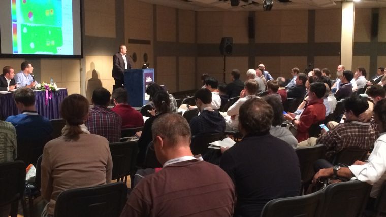
The flexibility and increasing versatility of unmanned vehicle systems (UVS) are increasingly popular. This means that knowledge on the use of these systems is increasing as well. It was therefore no surprise that the ISPRS Congress 2016 sessions on Sunday morning were packed with delegates eager to hear about the latest developments. Several presentations were made by a range of international speakers.
Modelling steep surfaces by various configurations of nadir and oblique photogrammetry was presented by Vittorio Casella and Marica Franzini of the University of Pavia, Italy. They applied it to the photogrammetric UAS-based survey of part of a large sandpit.
Huai Yu, Tianheng Yan, Wen Yang and Hong Zheng of Wuhan University, China, highlighted ‘An integrative object-based image analysis workflow for UAV images’, followed by the Czech contribution by Theodora Lendzioch, Jakub Langhammer and Michal Jenicek on ‘Forest Canopies and Open Area Effects on Snow Accumulation from Unmanned Aerial Vehicle (UAV) Photogrammetry and Ground Measurements, Sumava National Park, Czech Republic’.
The first session was concluded by Yi Yuan and Xiangyun Hu of the Wuhan University in China on ‘Random forest and objected-based classification for forest pest extraction from UAV aerial imagery’. This paper proposed a new method to detect forest pest in UAV aerial imagery.
After a coffee break, a new line-up of speakers was ready to highlight developments. ‘UAS Topographic Mapping with Velodyne Lidar Sensor’ by Grzegorz Jozkow, Charles Toth and Dorota Grejner-Brzezinska discussed the limited performance of the navigation sensors used with UAS, leading to other hardware and software solutions being investigated to increase the quality of Lidar point clouds.
‘High-resolution airborne laser scanning and hyperspectral imaging with a small UAV platform’ was presented by Michal Gallay, Christoph Eck, Ján Kaňuk and Eduard Dvorný, demonstrating their custom integration of the technologies within the Aeroscout Scout B1-100 UAV helicopter. Two payload options have been designed for the research of various aspects of landscape dynamics in high spectral and spatial resolution. The waterside was visited by an ‘Evaluation of a novel UAV-borne topo-bathymetric laser profiler’ by Gottfried Mandlburger, Martin Pfennigbauer, Martin Wieser, Ursula Riegl and Norbert Pfeifer’s paper. It showed that the topo-bathymetric UAV-based profiler delivers reliable water surface levels and shallow-water depths and constitutes a cost-effective and safe alternative to terrestrial data acquisition for confined study areas.
The last contribution was ‘Evaluation of a metric camera system tailored for high precision UAV applications’, delivered by Thomas Kraft, et al. Their main focus was on standardised calibration and test procedures as well as on standardised photogrammetric workflows as a proof of feasibility for a photogrammetric camera system for UAV.

Value staying current with geomatics?
Stay on the map with our expertly curated newsletters.
We provide educational insights, industry updates, and inspiring stories to help you learn, grow, and reach your full potential in your field. Don't miss out - subscribe today and ensure you're always informed, educated, and inspired.
Choose your newsletter(s)


